
1974 Map of Catherine
USGS Topo · Published 1977About this map
Catherine and Gastonburg serve as central hubs in this Wilcox County landscape, where the Southern railroad line cuts a straight path through the rural terrain. The area is densely marked by its community institutions, including the Catherine Academy and numerous rural houses of worship like Macedonia Ch and Salem Ch. Along the eastern edge, the Alabama River transforms into the William "Bill" Dannelly Reservoir, shaping the geography near Canton Bend and the site of Prairie. This 1970s survey documents a region defined by family-named landmarks and historical burial grounds, such as Prairie Bluff Cem and St Marys Ch Cem. The transition from river bottomlands to higher ground is evident in the network of creeks like Shell Creek and Chilatchee Creek, which drain toward the reservoir. For genealogists, the map preserves the exact locations of many smaller cemeteries, including Gastonburg Cem and Welcome Cem, which anchor the local history of these unincorporated settlements.
Find a feature on this map
47 named features on this map. Tap any name to fly to it.
Don’t see what you’re looking for? This feature index may not catch every label — zoom into the map to look around manually.
Map Details
Editions of this 1974 Catherine Map
This is the sole edition of this map. No revisions or reprints were ever made.
Other maps of this area

1953 · Montgomery
USGS Topo · 1:250,000

1956 · Montgomery
USGS Topo · 1:250,000

1957 · Montgomery
USGS Topo · 1:250,000

1968 · Thomaston East
USGS Topo · 1:24,000

1968 · Safford
USGS Topo · 1:24,000

1968 · Central Mills
USGS Topo · 1:24,000

1974 · Crumptonia
USGS Topo · 1:24,000
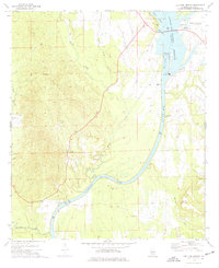
1974 · Lee Long Bridge
USGS Topo · 1:24,000
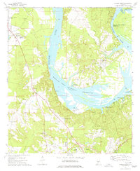
1974 · Camden North
USGS Topo · 1:24,000
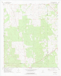
1978 · Flatwood
USGS Topo · 1:24,000