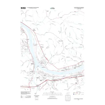
2013 Map of Catlettsburg
USGS Topo · Published 2013About this map
The Ohio River and Big Sandy River converge at the heart of this tri-state region, where the industrial and residential landscapes of West Virginia, Kentucky, and Ohio meet. Industrial activity is centered near the Ashland Oil Refinery, while river navigation and transport are emphasized by landmarks such as the Mose Napier Bridge and the Perry and Gentry Bridge Westbound Bridge. This survey details the complex network of neighborhoods along the riverbanks, including Kenova, Ceredo, and Catlettsburg.
Find a feature on this map
286 named features on this map. Tap any name to fly to it.
Don’t see what you’re looking for? This feature index may not catch every label — zoom into the map to look around manually.
Map Details
Editions of this 2013 Catlettsburg Map
This is the sole edition of this map. No revisions or reprints were ever made.
Other maps of this area

1892 · Huntington
USGS Topo · 1:125,000

1898 · Huntington
USGS Topo · 1:125,000

1898 · Ironton
USGS Topo · 1:62,500

1900 · Ironton
USGS Topo · 1:62,500

1901 · Guyandot
USGS Topo · 1:62,500

1901 · Ceredo
USGS Topo · 1:62,500

1902 · Guyandot
USGS Topo · 1:62,500

1903 · Kenova
USGS Topo · 1:125,000

1904 · Kenova
USGS Topo · 1:125,000

1906 · Athalia
USGS Topo · 1:62,500