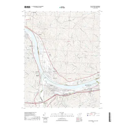
2019 Map of Catlettsburg
USGS Topo · Published 2019About this map
The confluence of the Ohio River and the Big Sandy River serves as the geographic anchor for this tri-state region, where the borders of Kentucky, Ohio, and West Virginia meet. This intersection of waterways facilitated the growth of industrial and transit hubs like Ashland, Kenova, and Ceredo. The map illustrates a landscape shaped by both water and heavy infrastructure, featuring numerous crossings such as the Mose-Napler Bridge and the Barger Hill Underpass Bridge.
Find a feature on this map
77 named features on this map. Tap any name to fly to it.
Don’t see what you’re looking for? This feature index may not catch every label — zoom into the map to look around manually.
Map Details
Editions of this 2019 Catlettsburg Map
This is the sole edition of this map. No revisions or reprints were ever made.
Other maps of this area

1892 · Huntington
USGS Topo · 1:125,000

1898 · Huntington
USGS Topo · 1:125,000

1898 · Ironton
USGS Topo · 1:62,500

1900 · Ironton
USGS Topo · 1:62,500

1901 · Guyandot
USGS Topo · 1:62,500

1901 · Ceredo
USGS Topo · 1:62,500

1902 · Guyandot
USGS Topo · 1:62,500

1903 · Kenova
USGS Topo · 1:125,000

1904 · Kenova
USGS Topo · 1:125,000

1906 · Athalia
USGS Topo · 1:62,500