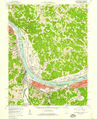
1957 Map of Catlettsburg
USGS Topo · Published 1958About this map
The confluence of the Ohio River and the Big Sandy River serves as the focal point for this tri-state study, where Kentucky, West Virginia, and Ohio meet. The industrial and transit corridor of the late 1950s is densely detailed, featuring the Chesapeake And Ohio and Baltimore And Ohio railroads alongside the Midland Trail. Major municipal footprints like Ashland, Catlettsburg, and Huntington dominate the riverfronts, while smaller communities such as Ceredo and Kenova illustrate the residential expansion of the era.
Find a feature on this map
76 named features on this map. Tap any name to fly to it.
Don’t see what you’re looking for? This feature index may not catch every label — zoom into the map to look around manually.
Map Details
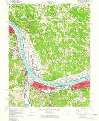
Editions of this 1957 Catlettsburg Map
2 editions found
Other maps of this area

1892 · Huntington
USGS Topo · 1:125,000

1898 · Huntington
USGS Topo · 1:125,000

1898 · Ironton
USGS Topo · 1:62,500

1900 · Ironton
USGS Topo · 1:62,500

1901 · Guyandot
USGS Topo · 1:62,500

1901 · Ceredo
USGS Topo · 1:62,500

1902 · Guyandot
USGS Topo · 1:62,500

1903 · Kenova
USGS Topo · 1:125,000

1904 · Kenova
USGS Topo · 1:125,000

1906 · Athalia
USGS Topo · 1:62,500