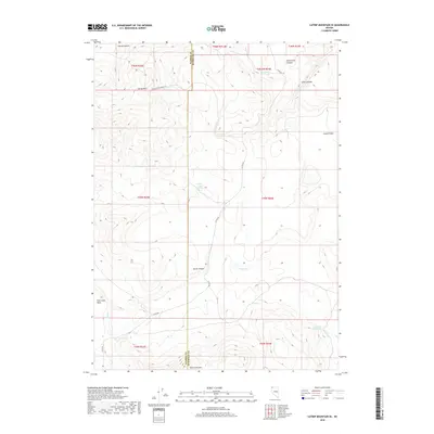
2018 Map of Catnip Mountain SE
USGS Topo · Published 2018About this map
Catnip Mtn and Fish Creek Mtn anchor this high-desert landscape on the border of Washoe and Humboldt Counties. This 2018 survey reveals a terrain defined by broad mesas like Gooch Table and Fish Creek Table, carved by systems such as Catnip Canyon and Echo Canyon. Water sources are critical markers here, with several named springs providing vital points in an otherwise arid environment, including Gooch Spring, Mud Spring, and Horse Canyon Spring.
Find a feature on this map
27 named features on this map. Tap any name to fly to it.
Don’t see what you’re looking for? This feature index may not catch every label — zoom into the map to look around manually.
Map Details
Editions of this 2018 Catnip Mountain SE Map
This is the sole edition of this map. No revisions or reprints were ever made.
Other maps of this area

1889 · Long Valley
USGS Topo · 1:250,000

1954 · Vya
USGS Topo · 1:250,000

1958 · Vya
USGS Topo · 1:250,000

1962 · Vya
USGS Topo · 1:250,000

1965 · Rock Spring Table
USGS Topo · 1:62,500

1966 · Catnip Canyon
USGS Topo · 1:24,000

1966 · Swan Lake
USGS Topo · 1:24,000

1966 · Badger Mtn NW
USGS Topo · 1:24,000

1966 · Big Spring Butte
USGS Topo · 1:62,500

1966 · Blowout Mtn
USGS Topo · 1:24,000