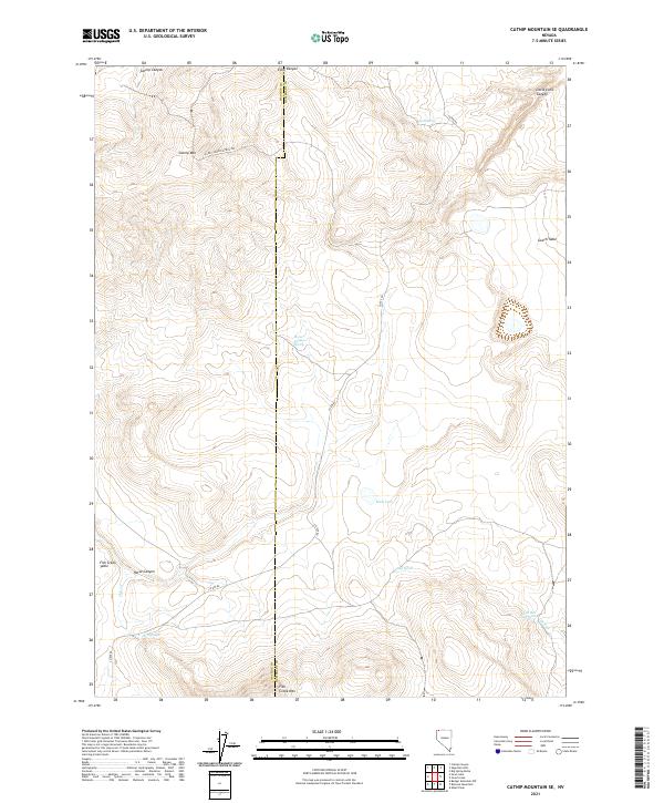
2021 Map of Catnip Mountain SE
USGS Topo · Published 2021About this map
The Washoe and Humboldt County line divides this high-desert landscape in northern Nevada, where water sources dictate the geography of human activity. Critical water points like Gooch Spring, Fish Springs, and Horse Canyon Spring are scattered across the terrain, serving as vital landmarks in an arid environment. The map shows a transition from dramatic peaks like Catnip Mountain and Fish Creek Mountain to broad plateau features such as Gooch Table and Fish Creek Table. Transportation through this territory is limited to the rugged Echo Canyon Patrol Trail and County Route 8A, highlighting the isolation of the region. Drainage patterns are defined by seasonal washes like Hell Creek and the ephemeral Mud Lake, illustrating the harsh but delicate hydrology of the Great Basin.
Find a feature on this map
27 named features on this map. Tap any name to fly to it.
Don’t see what you’re looking for? This feature index may not catch every label — zoom into the map to look around manually.
Map Details
Editions of this 2021 Catnip Mountain SE Map
This is the sole edition of this map. No revisions or reprints were ever made.
Other maps of this area

1889 · Long Valley
USGS Topo · 1:250,000

1954 · Vya
USGS Topo · 1:250,000

1958 · Vya
USGS Topo · 1:250,000

1962 · Vya
USGS Topo · 1:250,000

1965 · Rock Spring Table
USGS Topo · 1:62,500

1966 · Catnip Canyon
USGS Topo · 1:24,000

1966 · Swan Lake
USGS Topo · 1:24,000

1966 · Badger Mtn NW
USGS Topo · 1:24,000

1966 · Big Spring Butte
USGS Topo · 1:62,500

1966 · Blowout Mtn
USGS Topo · 1:24,000