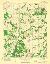
1959 Map of Cato
USGS Topo · Published 1960About this map
The border of Bourbon and Crawford Counties is defined by a landscape heavily shaped by the extractive industries of the late 1950s. Dozens of Strip Mines and significant tailings deposits dominate the terrain, particularly around the settlements of Cato and Arcadia. This industrial activity is interwoven with a dense network of local family history markers, including several rural burial grounds like Tweedy and Howard Cemeteries. The presence of the St. Louis San Francisco and Missouri Pacific railroads highlights the region's role in transporting coal and resources during this era.
Find a feature on this map
30 named features on this map. Tap any name to fly to it.
Don’t see what you’re looking for? This feature index may not catch every label — zoom into the map to look around manually.
Map Details
Editions of this 1959 Cato Map
2 editions found
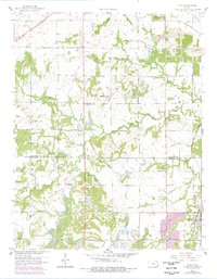
Other maps of this area

1884 · Fort Scott
USGS Topo · 1:125,000

1886 · Fort Scott
USGS Topo · 1:125,000

1893 · Fort Scott
USGS Topo · 1:125,000

1939 · Deerfield
USGS Topo · 1:24,000

1942 · Deerfield
USGS Topo · 1:24,000

1947 · Joplin
USGS Topo · 1:250,000

1948 · Mulberry
USGS Topo · 1:62,500
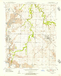
1948 · Liberal
USGS Topo · 1:24,000

1948 · Girard
USGS Topo · 1:62,500
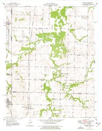
1948 · Garland
USGS Topo · 1:24,000