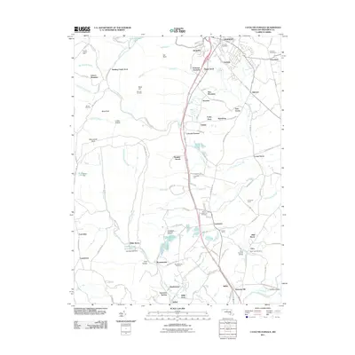
2011 Map of Catoctin Furnace
USGS Topo · Published 2011About this map
The eponymous Catoctin Furnace serves as a focal point for this Frederick County landscape, where industrial heritage meets the rising elevations of the mountain range. To the south, the Lewistown State Fish Hatchery and Fishing Creek Reservoir highlight the region's managed water resources, supported by the Fishing Creek Dam. This 2011 survey documents a diverse array of small settlements and residential enclaves, from Graceham and Jimtown in the northeast to Mountaindale, Lewistown, and Utica further south.
Find a feature on this map
118 named features on this map. Tap any name to fly to it.
Don’t see what you’re looking for? This feature index may not catch every label — zoom into the map to look around manually.
Map Details
Editions of this 2011 Catoctin Furnace Map
This is the sole edition of this map. No revisions or reprints were ever made.
Other maps of this area

1884 · Harpers Ferry
USGS Topo · 1:125,000

1891 · Harpers Ferry
USGS Topo · 1:125,000

1893 · Frederick
USGS Topo · 1:125,000

1893 · Harpers Ferry
USGS Topo · 1:125,000

1894 · Frederick
USGS Topo · 1:125,000

1908 · Middletown
USGS Topo · 1:48,000

1908 · Ijamsville
USGS Topo · 1:62,500

1909 · Ijamsville
USGS Topo · 1:62,500

1909 · Hagerstown
USGS Topo · 1:48,000

1910 · Antietam
USGS Topo · 1:62,500