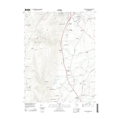
2014 Map of Catoctin Furnace
USGS Topo · Published 2014About this map
Thurmont and the surrounding Frederick County foothills are defined by the steep elevation of Catoctin Mountain Park, where the ridge line drops sharply toward the Monocacy River valley. The namesake industrial site at Catoctin Furnace remains a central landmark, illustrating the area's heritage of iron production and early settlement. To the east, the terrain transitions into agricultural land dotted with small communities like Graceham and Lewistown, connected by a network of rural routes such as Old Frederick Rd and Lewistown Rd.
Find a feature on this map
102 named features on this map. Tap any name to fly to it.
Don’t see what you’re looking for? This feature index may not catch every label — zoom into the map to look around manually.
Map Details
Editions of this 2014 Catoctin Furnace Map
This is the sole edition of this map. No revisions or reprints were ever made.
Other maps of this area

1884 · Harpers Ferry
USGS Topo · 1:125,000

1891 · Harpers Ferry
USGS Topo · 1:125,000

1893 · Frederick
USGS Topo · 1:125,000

1893 · Harpers Ferry
USGS Topo · 1:125,000

1894 · Frederick
USGS Topo · 1:125,000

1908 · Middletown
USGS Topo · 1:48,000

1908 · Ijamsville
USGS Topo · 1:62,500

1909 · Ijamsville
USGS Topo · 1:62,500

1909 · Hagerstown
USGS Topo · 1:48,000

1910 · Antietam
USGS Topo · 1:62,500