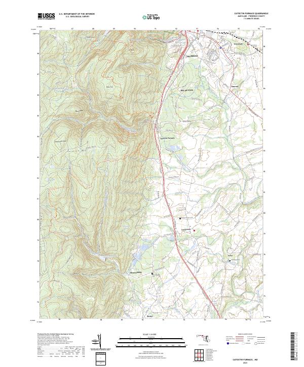
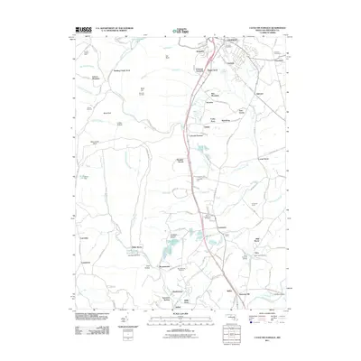
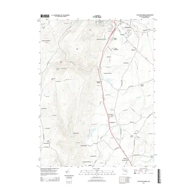
2023 Map of Catoctin Furnace
USGS Topo · Published 2023About this map
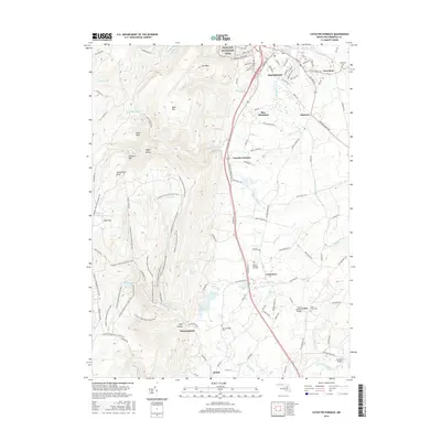
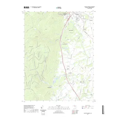
Catoctin Mountain Park and the high ridges of Catoctin Mtn dominate the western half of this map, where landmarks like Cat Rock and Bobs Hill rise above the Fishing-Er Reservoir. This landscape is defined by the sharp transition from the heavily forested slopes of the Blue Ridge to the lower, more developed Frederick Valley. The community of Thurmont sits at the northern edge, a regional hub where Big Hunting Creek passes through the valley floor. To the south, the industrial heritage of the area is anchored by Catoctin Furnace, while the agricultural character of the valley is evident around Lewistown and Utica. Water management is a key theme, visible in the Fish Hatchery and the numerous small runs like Little Hunting Creek and Sandy Run that drain toward the Monocacy River.
Find a feature on this map
117 named features on this map. Tap any name to fly to it.
Don’t see what you’re looking for? This feature index may not catch every label — zoom into the map to look around manually.
Map Details
Editions of this 2023 Catoctin Furnace Map
This is the sole edition of this map. No revisions or reprints were ever made.
Historical Maps of Thurmont Through Time
12 maps found

1908 Ijamsville
Frederick County, MD
1944 Catoctin Furnace
Frederick County, MD
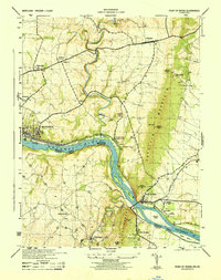
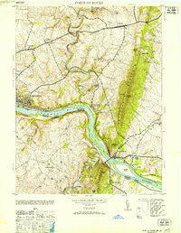
1944 Point Of Rocks
Frederick County, MD
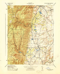
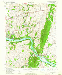
1953 Catoctin Furnace
Frederick County, MD
1953 Point Of Rocks
Frederick County, MD
1955 Point Of Rocks
Frederick County, MD
1970 Point Of Rocks
Frederick County, MD
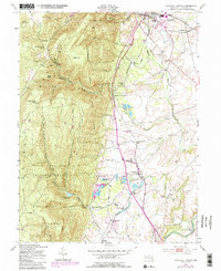
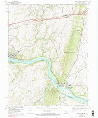
2011 Catoctin Furnace
Frederick County, MD
2014 Catoctin Furnace
Frederick County, MD
2016 Catoctin Furnace
Frederick County, MD
2019 Catoctin Furnace
Frederick County, MD
2023 Catoctin Furnace
Frederick County, MD