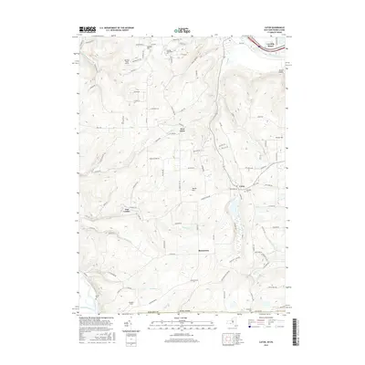
2016 Map of Caton
USGS Topo · Published 2016About this map
Caton and its surrounding hamlets sit within the complex drainage of the Southern Tier, where the Chemung River cuts through the northern corner and the Tioga River meets the Cowanesque River near the Pennsylvania border. This 2016 survey highlights a landscape where local history is preserved in family-named sites and traditional infrastructure. Notable sites include the Old Port Royal Airport and Corning Community Coll, alongside numerous small settlements like East Lindley, West Caton, and Browntown. Genealogists may find interest in Elmwood Cem, Seelye Cem, and Buchanan Cem. The topography is defined by significant elevations such as Spencer Hill and Martin Hill, while unique features like Caton Swamp and Canaan's Field offer specific points of interest for local historians studying land use in Steuben County.
Find a feature on this map
87 named features on this map. Tap any name to fly to it.
Don’t see what you’re looking for? This feature index may not catch every label — zoom into the map to look around manually.
Map Details
Editions of this 2016 Caton Map
This is the sole edition of this map. No revisions or reprints were ever made.
Other maps of this area

1895 · Elmira
USGS Topo · 1:62,500

1900 · Tioga
USGS Topo · 1:62,500

1902 · Tioga
USGS Topo · 1:62,500

1905 · Watkins Glen
USGS Topo · 1:125,000

1914 · Corning
USGS Topo · 1:62,500

1931 · Troy
USGS Topo · 1:48,000

1938 · Troy
USGS Topo · 1:62,500

1944 · Corning
USGS Topo · 1:62,500

1950 · Elmira
USGS Topo · 1:250,000

1953 · Campbell
USGS Topo · 1:24,000