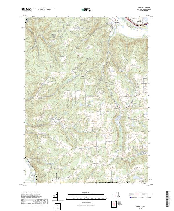
2023 Map of Caton
USGS Topo · Published 2023About this map
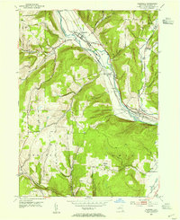
South Corning and Corning Manor anchor the northern reach of this quadrangle, where the Chemung River and Norfolk Southern rail line corridor dominate the valley floor. The terrain quickly rises into the uplands of Steuben County, characterized by a dense network of rural roads such as Cheese Factory Rd and Tannery Creek Rd, which hint at the agricultural and early industrial history of the region.
Find a feature on this map
115 named features on this map. Tap any name to fly to it.
Don’t see what you’re looking for? This feature index may not catch every label — zoom into the map to look around manually.
Map Details
Editions of this 2023 Caton Map
This is the sole edition of this map. No revisions or reprints were ever made.
Other maps of this area
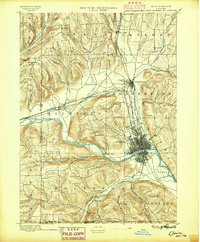
1895 · Elmira
USGS Topo · 1:62,500
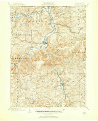
1900 · Tioga
USGS Topo · 1:62,500
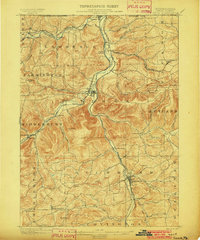
1902 · Tioga
USGS Topo · 1:62,500

1905 · Watkins Glen
USGS Topo · 1:125,000
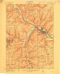
1914 · Corning
USGS Topo · 1:62,500
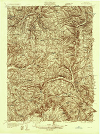
1931 · Troy
USGS Topo · 1:48,000
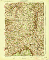
1938 · Troy
USGS Topo · 1:62,500
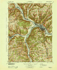
1944 · Corning
USGS Topo · 1:62,500

1950 · Elmira
USGS Topo · 1:250,000
1953 · Campbell
USGS Topo · 1:24,000