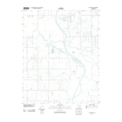
2010 Map of Catoosa SE
USGS Topo · Published 2010About this map
The Verdigris River serves as the central artery of this landscape, its path defined by significant navigational and hydraulic works including Lock and Dam 18. The surrounding bottomlands, such as Big Bottom, Goodhope Bottom, and Guinn Bottom, indicate a fertile river valley traditionally utilized for agriculture. To the west, the terrain rises toward Brushy Prairie, while the river's winding course is accompanied by several oxbow lakes and sloughs, most notably Long Lake, Little Long Lake, and Pecan Slough.
Find a feature on this map
33 named features on this map. Tap any name to fly to it.
Don’t see what you’re looking for? This feature index may not catch every label — zoom into the map to look around manually.
Map Details
Editions of this 2010 Catoosa SE Map
This is the sole edition of this map. No revisions or reprints were ever made.
Other maps of this area

1896 · Okmulgee
USGS Topo · 1:125,000

1896 · Pryor
USGS Topo · 1:125,000

1900 · Okmulgee
USGS Topo · 1:125,000

1901 · Muscogee
USGS Topo · 1:125,000

1901 · Claremore
USGS Topo · 1:125,000

1901 · Pryor
USGS Topo · 1:125,000

1905 · Muscogee
USGS Topo · 1:125,000

1914 · Claremore
USGS Topo · 1:125,000

1916 · Claremore
USGS Topo · 1:125,000

1946 · Fort Smith
USGS Topo · 1:250,000