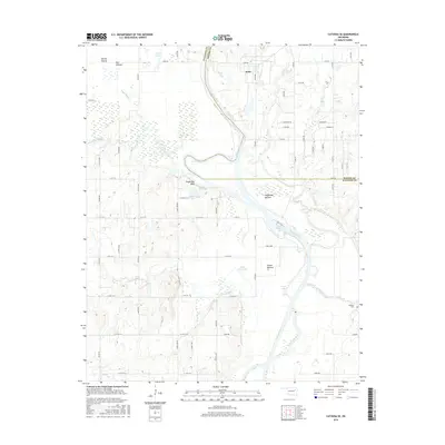
2016 Map of Catoosa SE
USGS Topo · Published 2016About this map
The Verdigris River carves a deep path through the Oklahoma landscape of Rogers Co and Wagoner Co, defining the character of the region southeast of Inola. This 2016 survey highlights the significant engineering of the McClellan-Kerr Arkansas River Navigation System, anchored by Lock and Dam 18 and the expansive Newt Graham Lake. The river's winding course is flanked by fertile lowlands like Big Bottom, Goodhope Bottom, and Guinn Bottom, which are punctuated by isolated water bodies including Snake Den Lake and Little Long Lake. On the eastern edge of the quadrangle, the Childers Cem offers a point of interest for genealogists tracing local families in this river-oriented community. The contrast between the elevated Snake Den Bluff and the low-lying Brushy Prairie reveals a topography shaped by both natural drainage and modern hydraulic management.
Find a feature on this map
46 named features on this map. Tap any name to fly to it.
Don’t see what you’re looking for? This feature index may not catch every label — zoom into the map to look around manually.
Map Details
Editions of this 2016 Catoosa SE Map
This is the sole edition of this map. No revisions or reprints were ever made.
Other maps of this area

1896 · Okmulgee
USGS Topo · 1:125,000

1896 · Pryor
USGS Topo · 1:125,000

1900 · Okmulgee
USGS Topo · 1:125,000

1901 · Muscogee
USGS Topo · 1:125,000

1901 · Claremore
USGS Topo · 1:125,000

1901 · Pryor
USGS Topo · 1:125,000

1905 · Muscogee
USGS Topo · 1:125,000

1914 · Claremore
USGS Topo · 1:125,000

1916 · Claremore
USGS Topo · 1:125,000

1946 · Fort Smith
USGS Topo · 1:250,000