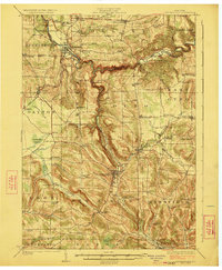
1923 Map of Cattaraugus
USGS Topo · Published 1923About this map
Cattaraugus Creek carves a deep, winding gorge through the center of this landscape, separating the townships of Collins and Otto. In the early 1920s, this area of western New York was defined by a dense network of rural schools and small agricultural settlements connected by the Erie RR. Significant landmarks include the State Asylum north of Gowanda and the southern reaches of the Cattaraugus Indian Reservation.
Find a feature on this map
99 named features on this map. Tap any name to fly to it.
Don’t see what you’re looking for? This feature index may not catch every label — zoom into the map to look around manually.
Map Details
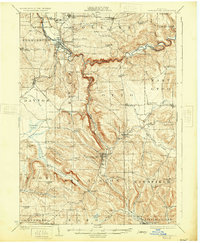
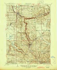
Editions of this 1923 Cattaraugus Map
4 editions found
Other maps of this area

1899 · Silver Creek
USGS Topo · 1:62,500

1900 · Cherry Creek
USGS Topo · 1:62,500

1900 · Salamanca
USGS Topo · 1:62,500

1905 · Jamestown
USGS Topo · 1:62,500

1905 · Eden
USGS Topo · 1:62,500

1907 · Eden
USGS Topo · 1:62,500

1922 · Randolph
USGS Topo · 1:62,500

1923 · Randolph
USGS Topo · 1:62,500

1923 · Cattaraugus
USGS Topo · 1:62,500

1924 · Ellicottville
USGS Topo · 1:62,500