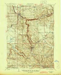
1923 Map of Cattaraugus
USGS Topo · Published 1945About this map
Cattaraugus Creek carves a deep, winding path through this western New York landscape, defining the northern border of the Cattaraugus Indian Reservation and the spectacular Zoar Valley. The topography is dominated by dramatic relief and isolated hollows, such as Lawrence Hollow and Dublin Hollow, which shaped the early development of dispersed rural hamlets like New Albion and East Otto. A dense network of district schools, including the evocatively named Scrabble Hill School and Poverty Hill School, illustrates the era's localized approach to rural education.
Find a feature on this map
104 named features on this map. Tap any name to fly to it.
Don’t see what you’re looking for? This feature index may not catch every label — zoom into the map to look around manually.
Map Details
Editions of this 1923 Cattaraugus Map
4 editions found
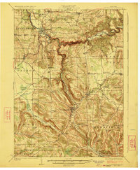
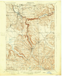
Other maps of this area

1899 · Silver Creek
USGS Topo · 1:62,500

1900 · Cherry Creek
USGS Topo · 1:62,500

1900 · Salamanca
USGS Topo · 1:62,500

1905 · Jamestown
USGS Topo · 1:62,500

1905 · Eden
USGS Topo · 1:62,500

1907 · Eden
USGS Topo · 1:62,500

1922 · Randolph
USGS Topo · 1:62,500

1923 · Randolph
USGS Topo · 1:62,500

1923 · Cattaraugus
USGS Topo · 1:62,500

1924 · Ellicottville
USGS Topo · 1:62,500