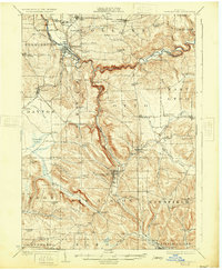
1923 Map of Cattaraugus
USGS Topo · Published 1931About this map
Cattaraugus Indian Reservation lands dominate the northwestern corner of this territory, where the Erie RR crosses from Perrysburg toward Gowanda along the banks of Cattaraugus Creek. The early 1920s landscape is defined by its deep hollows and numerous rural district schools, many bearing family names like the Rosenburg School, Joles School, and Kyser Hill School. The presence of the State Asylum north of Bagdad and the specialized Milk School in New Albion point to the institutional and agricultural character of the region during this era.
Find a feature on this map
101 named features on this map. Tap any name to fly to it.
Don’t see what you’re looking for? This feature index may not catch every label — zoom into the map to look around manually.
Map Details
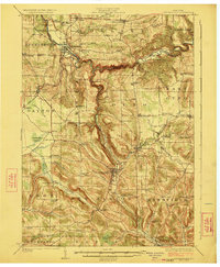
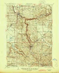
Editions of this 1923 Cattaraugus Map
4 editions found
Other maps of this area

1899 · Silver Creek
USGS Topo · 1:62,500

1900 · Cherry Creek
USGS Topo · 1:62,500

1900 · Salamanca
USGS Topo · 1:62,500

1905 · Jamestown
USGS Topo · 1:62,500

1905 · Eden
USGS Topo · 1:62,500

1907 · Eden
USGS Topo · 1:62,500

1922 · Randolph
USGS Topo · 1:62,500

1923 · Randolph
USGS Topo · 1:62,500

1923 · Cattaraugus
USGS Topo · 1:62,500

1924 · Ellicottville
USGS Topo · 1:62,500