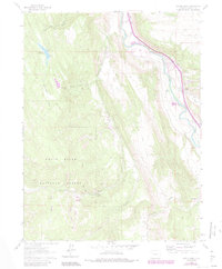
1961 Map of Cattle Creek
USGS Topo · Published 1984About this map
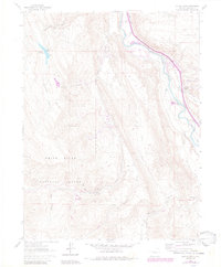
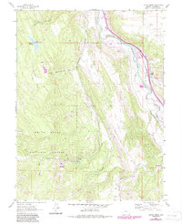
White River National Forest defines the western terrain of this Garfield County landscape, where the peaks drop toward the Roaring Fork River valley. The map documents an industrial transition in the mountains, showing the Abandoned Tramway and the Black Diamond Mine alongside the development of the Sunlight Ski Area. In the valley, the D & R G W railroad line follows the river, serving the settlement at Cattle Creek and passing near the Crystal River Ranch. Complex water management is evident through a network of diversions including the Glenwood Ditch, Stinson Ditch, and Sweet Jessup Canal, which draw from the high country creeks to support the lower elevations. The inclusion of the Fourmile Gaging Sta and various Railroad Grades provides specific points of interest for those tracing the historical infrastructure of the region.
Find a feature on this map
30 named features on this map. Tap any name to fly to it.
Don’t see what you’re looking for? This feature index may not catch every label — zoom into the map to look around manually.
Map Details
Editions of this 1961 Cattle Creek Map
7 editions found
Other maps of this area

1927 · Glenwood Springs
USGS Topo · 1:125,000

1930 · Glenwood Springs
USGS Topo · 1:125,000

1957 · Leadville
USGS Topo · 1:250,000

1959 · Leadville
USGS Topo · 1:250,000

1960 · Leadville
USGS Topo · 1:250,000

1961 · Mount Sopris
USGS Topo · 1:24,000

1961 · Cattle Creek
USGS Topo · 1:24,000

1961 · Carbondale
USGS Topo · 1:24,000

1961 · Shoshone
USGS Topo · 1:24,000

1961 · Glenwood Springs
USGS Topo · 1:24,000