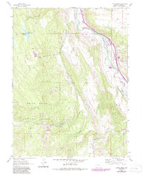
1961 Map of Cattle Creek
USGS Topo · Published 1988About this map
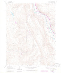
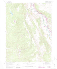
The Roaring Fork River corridor defines the eastern edge of this Garfield County landscape, where the Denver and Rio Grande Western railroad tracks run parallel to the water. This 1961 edition, with photorevisions through the 1980s, reveals the industrial and recreational evolution of the terrain. The transition from extraction to leisure is visible near the Sunlight Ski Area, which occupies the same rugged slopes as the Sunlight Mine and the Black Diamond Mine. Mining infrastructure remains etched on the land through an Abandoned Tramway and several air shafts.
Find a feature on this map
35 named features on this map. Tap any name to fly to it.
Don’t see what you’re looking for? This feature index may not catch every label — zoom into the map to look around manually.
Map Details
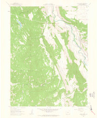
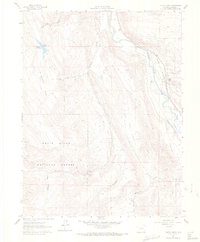
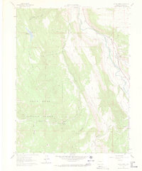
Editions of this 1961 Cattle Creek Map
7 editions found
Other maps of this area

1927 · Glenwood Springs
USGS Topo · 1:125,000

1930 · Glenwood Springs
USGS Topo · 1:125,000

1957 · Leadville
USGS Topo · 1:250,000

1959 · Leadville
USGS Topo · 1:250,000

1960 · Leadville
USGS Topo · 1:250,000

1961 · Mount Sopris
USGS Topo · 1:24,000

1961 · Cattle Creek
USGS Topo · 1:24,000

1961 · Carbondale
USGS Topo · 1:24,000

1961 · Shoshone
USGS Topo · 1:24,000

1961 · Glenwood Springs
USGS Topo · 1:24,000