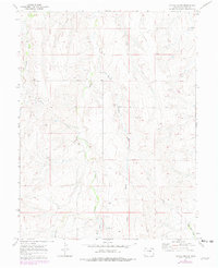
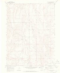
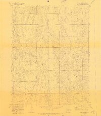
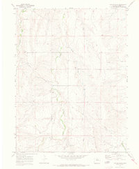
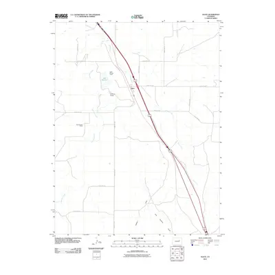
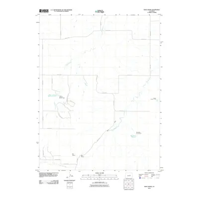
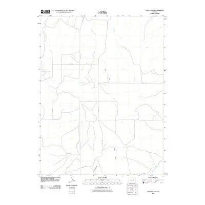
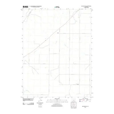
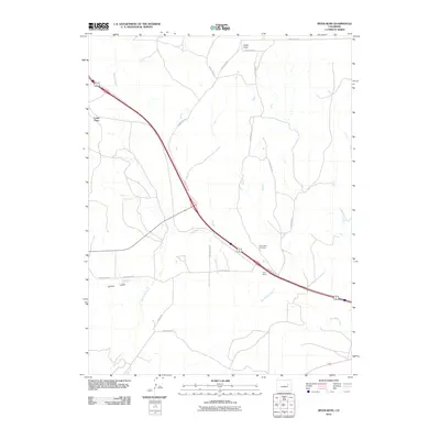
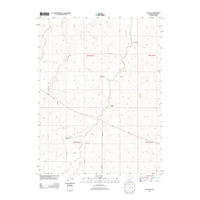
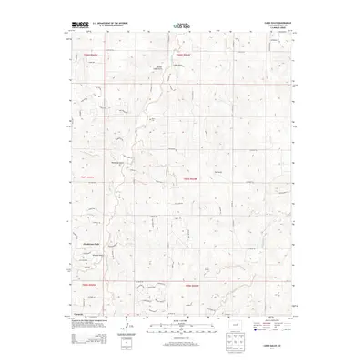
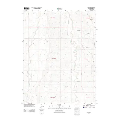
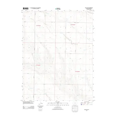
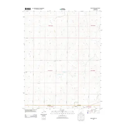
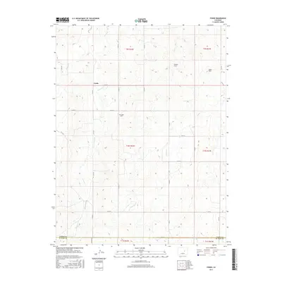
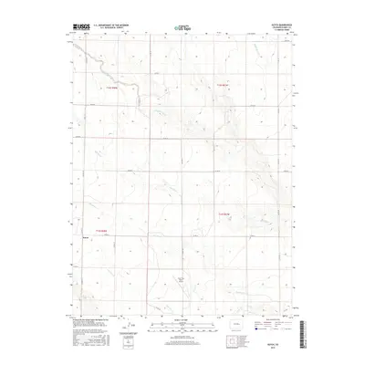
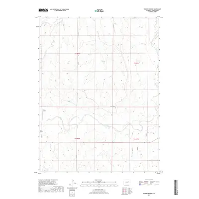
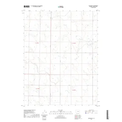
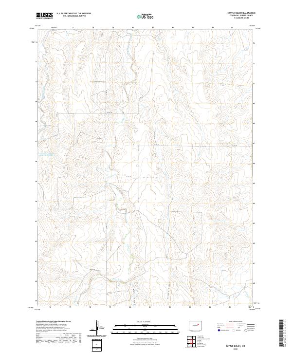
1970 Map of Cattle Gulch
USGS Topo · Published 1979About this map
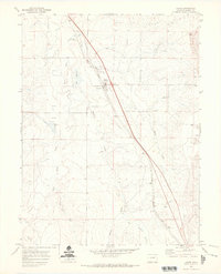
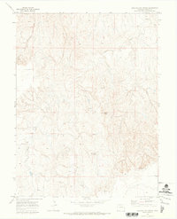
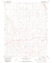
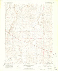
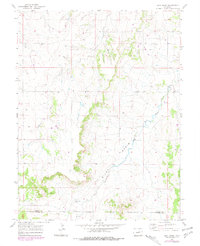
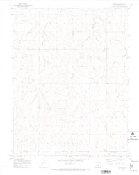
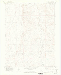
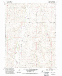
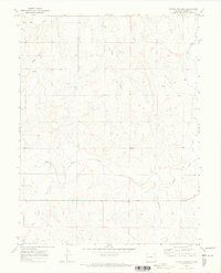
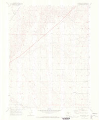
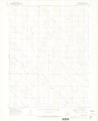
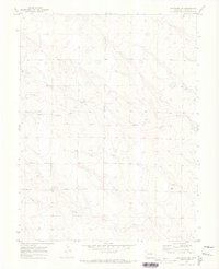
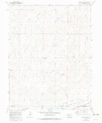
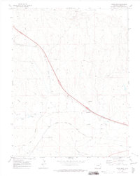
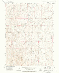
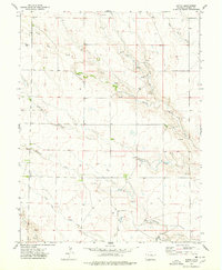
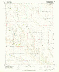
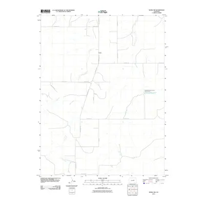
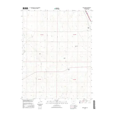
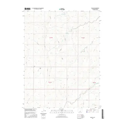
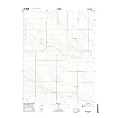
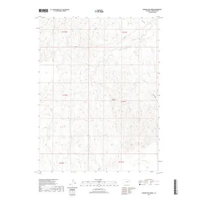
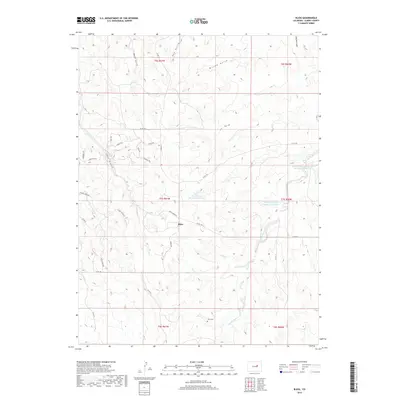
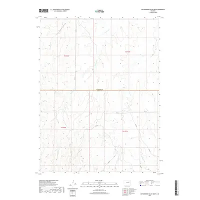
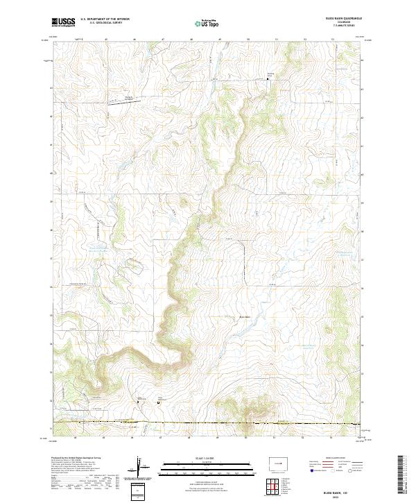
Middle Bijou Creek and East Bijou Creek define the drainage patterns of this Elbert County landscape during the early 1970s. The terrain is deeply incised by a network of watercourses including Cattle Gulch, Wilson Creek, and Bland Creek, which reveal a topography shaped by persistent erosion in a semi-arid environment. The land use here appears primarily industrial and extractive, characterized by the presence of several Gravel Pits and a prominent Pipeline cutting across the central and southern sections.
Find a feature on this map
11 named features on this map. Tap any name to fly to it.
Don’t see what you’re looking for? This feature index may not catch every label — zoom into the map to look around manually.
Map Details
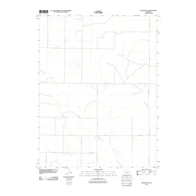
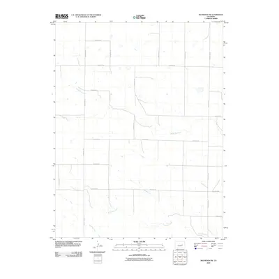
Editions of this 1970 Cattle Gulch Map
4 editions found
Historical Maps of Elbert County Through Time
126 maps found
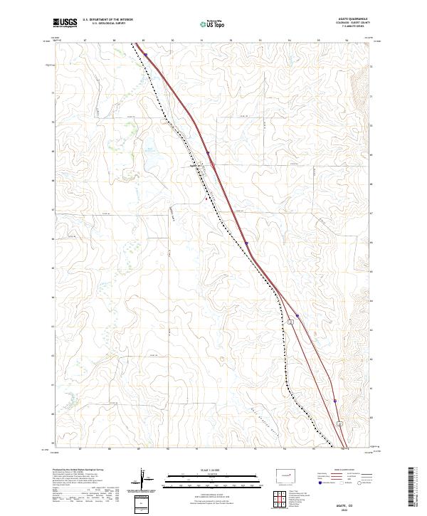
1970 Agate
Elbert County, CO
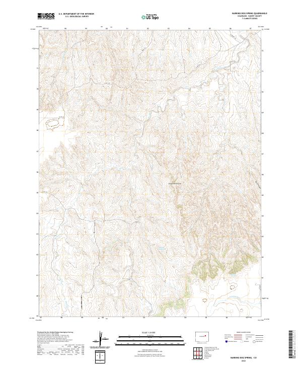
1970 Barking Dog Spring
Elbert County, CO
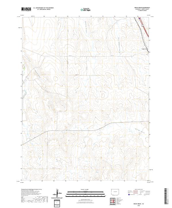
1970 Beuck Draw
Elbert County, CO
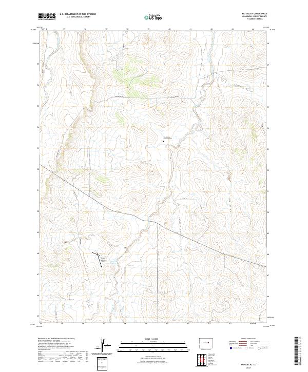
1970 Big Gulch
Elbert County, CO
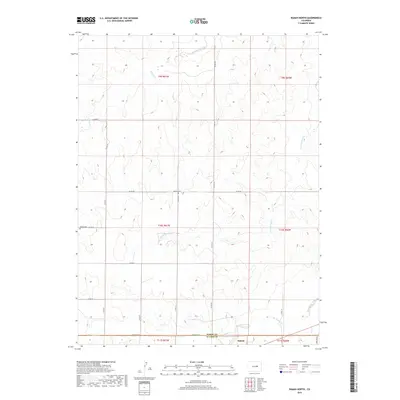
1970 Bijou Basin
Elbert County, CO
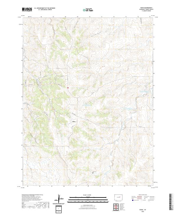
1970 Bijou
Elbert County, CO
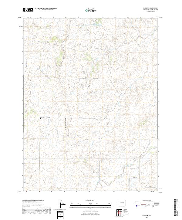
1970 Bijou SW
Elbert County, CO
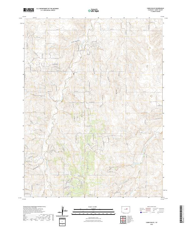
1970 Cabin Gulch
Elbert County, CO
1970 Cattle Gulch
Elbert County, CO
1970 Fondis
Elbert County, CO
1970 Kiowa NE
Elbert County, CO
1970 Kiowa NW
Elbert County, CO
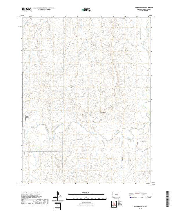
1970 Kuhns Crossing
Elbert County, CO
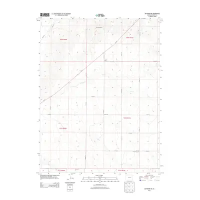
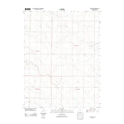
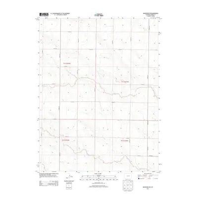
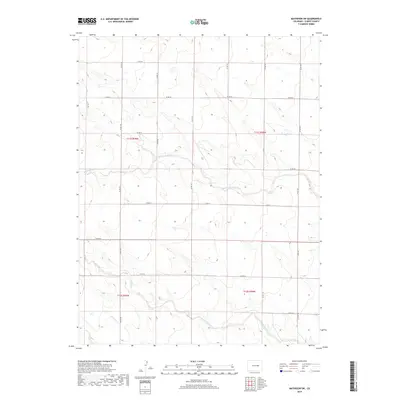
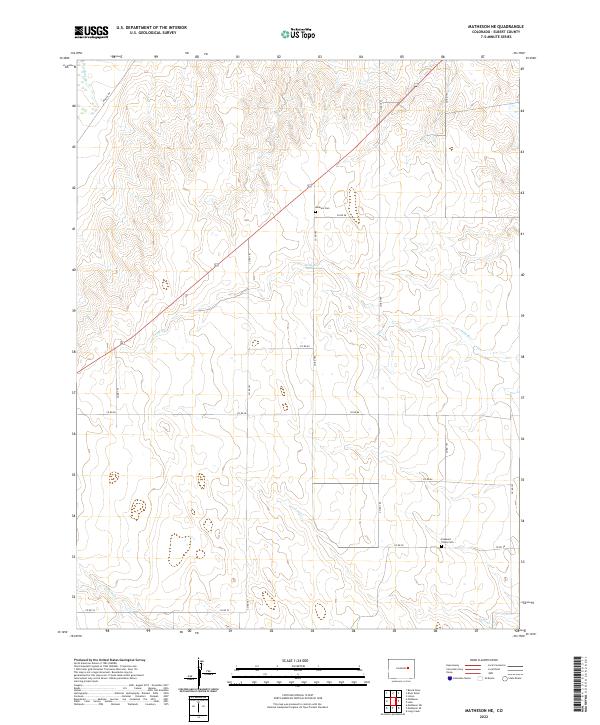
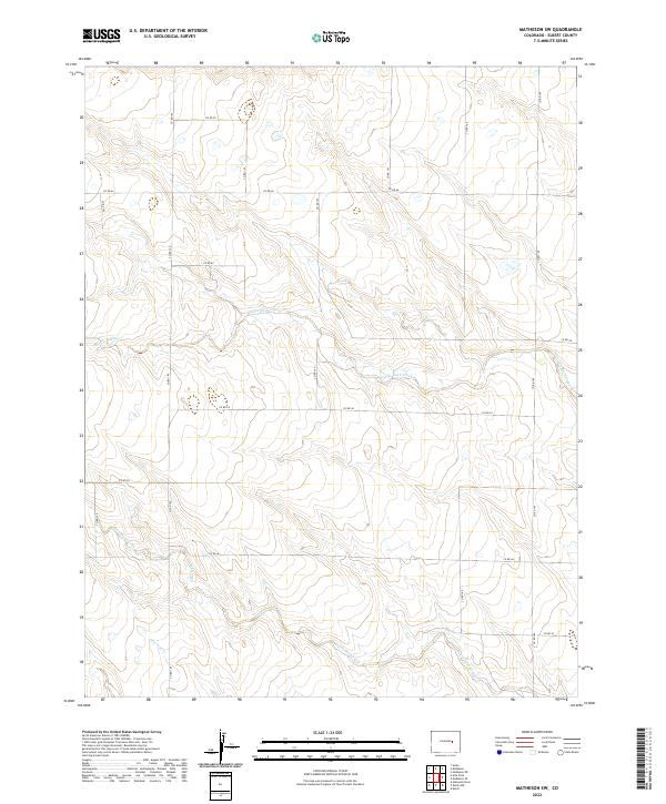
1970 Matheson NE
Elbert County, CO
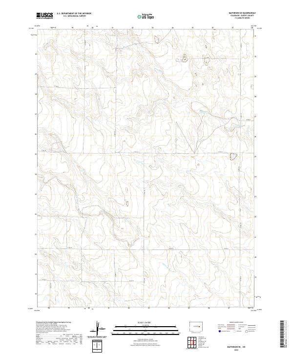
1970 Matheson SE
Elbert County, CO
1970 Matheson SW
Elbert County, CO
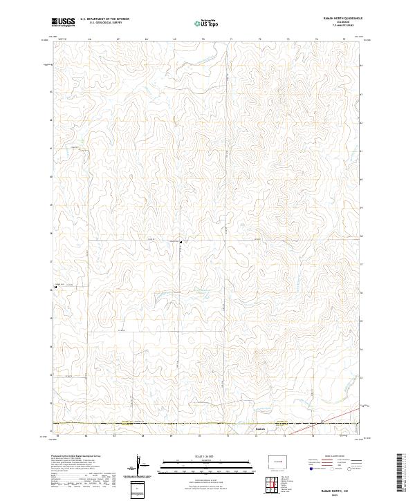
1970 Ramah North
Elbert County, CO
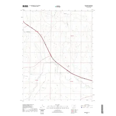
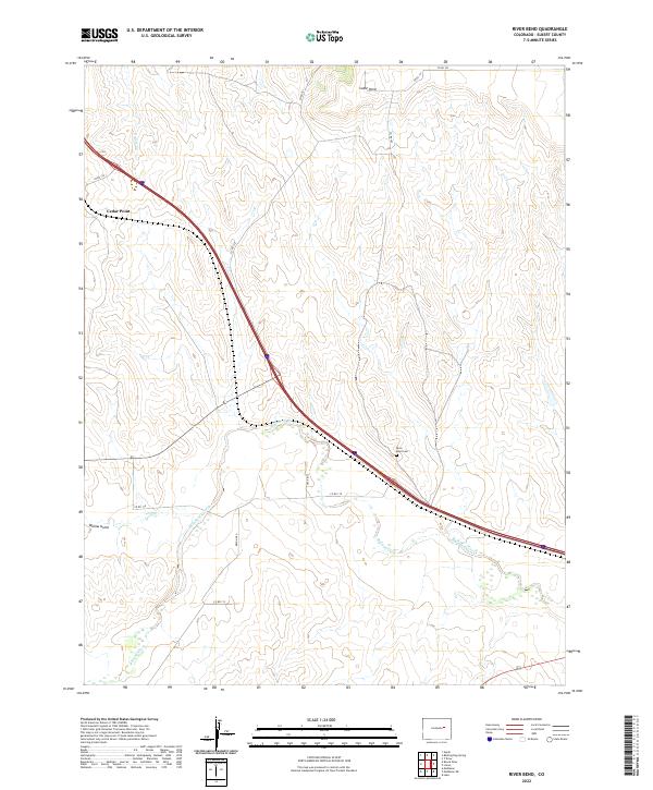
1970 River Bend
Elbert County, CO
1973 Cottonwood Valley South
Elbert County, CO
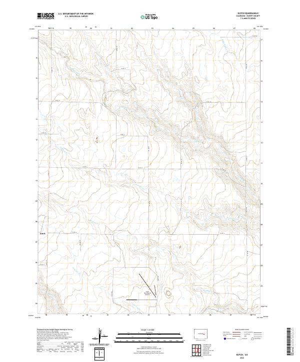
1975 Kutch
Elbert County, CO
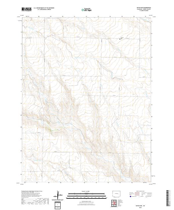
1978 Kutch NW
Elbert County, CO
2010 Agate
Elbert County, CO
2010 Barking Dog Spring
Elbert County, CO
2010 Beuck Draw
Elbert County, CO
2010 Big Gulch
Elbert County, CO
2010 Bijou Basin
Elbert County, CO
2010 Bijou
Elbert County, CO
2010 Bijou SW
Elbert County, CO
2010 Cabin Gulch
Elbert County, CO
2010 Cattle Gulch
Elbert County, CO
2010 Cottonwood Valley South
Elbert County, CO
2010 Fondis
Elbert County, CO
2010 Kiowa NE
Elbert County, CO
2010 Kiowa NW
Elbert County, CO
2010 Kuhns Crossing
Elbert County, CO
2010 Kutch
Elbert County, CO
2010 Kutch NW
Elbert County, CO
2010 Matheson NE
Elbert County, CO
2010 Matheson SE
Elbert County, CO
2010 Matheson SW
Elbert County, CO
2010 Ramah North
Elbert County, CO
2010 River Bend
Elbert County, CO
2013 Agate
Elbert County, CO
2013 Barking Dog Spring
Elbert County, CO
2013 Beuck Draw
Elbert County, CO
2013 Big Gulch
Elbert County, CO
2013 Bijou Basin
Elbert County, CO
2013 Bijou
Elbert County, CO
2013 Bijou SW
Elbert County, CO
2013 Cabin Gulch
Elbert County, CO
2013 Cattle Gulch
Elbert County, CO
2013 Cottonwood Valley South
Elbert County, CO
2013 Fondis
Elbert County, CO
2013 Kiowa NE
Elbert County, CO
2013 Kiowa NW
Elbert County, CO
2013 Kuhns Crossing
Elbert County, CO
2013 Kutch
Elbert County, CO
2013 Kutch NW
Elbert County, CO
2013 Matheson NE
Elbert County, CO
2013 Matheson SE
Elbert County, CO
2013 Matheson SW
Elbert County, CO
2013 Ramah North
Elbert County, CO
2013 River Bend
Elbert County, CO
2016 Agate
Elbert County, CO
2016 Barking Dog Spring
Elbert County, CO
2016 Beuck Draw
Elbert County, CO
2016 Big Gulch
Elbert County, CO
2016 Bijou Basin
Elbert County, CO
2016 Bijou
Elbert County, CO
2016 Bijou SW
Elbert County, CO
2016 Cabin Gulch
Elbert County, CO
2016 Cattle Gulch
Elbert County, CO
2016 Cottonwood Valley South
Elbert County, CO
2016 Fondis
Elbert County, CO
2016 Kiowa NE
Elbert County, CO
2016 Kiowa NW
Elbert County, CO
2016 Kuhns Crossing
Elbert County, CO
2016 Kutch
Elbert County, CO
2016 Kutch NW
Elbert County, CO
2016 Matheson NE
Elbert County, CO
2016 Matheson SE
Elbert County, CO
2016 Matheson SW
Elbert County, CO
2016 Ramah North
Elbert County, CO
2016 River Bend
Elbert County, CO
2019 Agate
Elbert County, CO
2019 Barking Dog Spring
Elbert County, CO
2019 Beuck Draw
Elbert County, CO
2019 Big Gulch
Elbert County, CO
2019 Bijou Basin
Elbert County, CO
2019 Bijou
Elbert County, CO
2019 Bijou SW
Elbert County, CO
2019 Cabin Gulch
Elbert County, CO
2019 Cattle Gulch
Elbert County, CO
2019 Cottonwood Valley South
Elbert County, CO
2019 Fondis
Elbert County, CO
2019 Kiowa NE
Elbert County, CO
2019 Kiowa NW
Elbert County, CO
2019 Kuhns Crossing
Elbert County, CO
2019 Kutch
Elbert County, CO
2019 Kutch NW
Elbert County, CO
2019 Matheson NE
Elbert County, CO
2019 Matheson SE
Elbert County, CO
2019 Matheson SW
Elbert County, CO
2019 Ramah North
Elbert County, CO
2019 River Bend
Elbert County, CO
2022 Agate
Elbert County, CO
2022 Barking Dog Spring
Elbert County, CO
2022 Beuck Draw
Elbert County, CO
2022 Big Gulch
Elbert County, CO
2022 Bijou Basin
Elbert County, CO
2022 Bijou
Elbert County, CO
2022 Bijou SW
Elbert County, CO
2022 Cabin Gulch
Elbert County, CO
2022 Cattle Gulch
Elbert County, CO

2022 Cottonwood Valley South
Elbert County, CO
2022 Fondis
Elbert County, CO
2022 Kiowa NE
Elbert County, CO
2022 Kiowa NW
Elbert County, CO
2022 Kuhns Crossing
Elbert County, CO
2022 Kutch
Elbert County, CO
2022 Kutch NW
Elbert County, CO
2022 Matheson NE
Elbert County, CO
2022 Matheson SE
Elbert County, CO
2022 Matheson SW
Elbert County, CO
2022 Ramah North
Elbert County, CO
2022 River Bend
Elbert County, CO