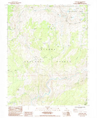
1983 Map of Cattle Mtn
USGS Topo · Published 1984About this map
Cattle Mtn and the surrounding high-elevation landscape of the Sierra National Forest are documented here just before several alpine areas were further designated for preservation. This map highlights a complex network of meadows and seasonal water sources, such as Naked Lady Meadow, Buckhorn Meadow, and Soldier Meadow, which served as critical landmarks for travelers and stockmen.
Find a feature on this map
46 named features on this map. Tap any name to fly to it.
Don’t see what you’re looking for? This feature index may not catch every label — zoom into the map to look around manually.
Map Details
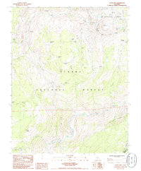
Editions of this 1983 Cattle Mtn Map
2 editions found
Other maps of this area

1901 · Mt. Lyell
USGS Topo · 1:125,000

1904 · Kaiser
USGS Topo · 1:125,000

1947 · Mariposa
USGS Topo · 1:250,000

1948 · Mariposa
USGS Topo · 1:250,000

1953 · Merced Peak
USGS Topo · 1:62,500

1953 · Devils Postpile
USGS Topo · 1:62,500

1953 · Shuteye Peak
USGS Topo · 1:62,500

1953 · Kaiser Peak
USGS Topo · 1:62,500

1957 · Mariposa
USGS Topo · 1:250,000

1963 · Mariposa
USGS Topo · 1:250,000