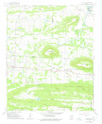
1966 Map of Caulksville
USGS Topo · Published 1978About this map
Missouri Pacific Railroad tracks run east-west across this 1960s landscape, connecting the coal-industrial sites of Carbon City and Paris with the settlement of Caulksville. The era's extractive economy is clearly visible through numerous Strip Mine sites and Mine Dump labels scattered between the prominent heights of Horseshoe Mountain and Short Mountain. This map documents a transition in local commerce and social life, where traditional landmarks like the Carpenter Cemetery and Shaver Church sit alongside mid-century additions like the Drive-in Theater near Paris.
Find a feature on this map
42 named features on this map. Tap any name to fly to it.
Don’t see what you’re looking for? This feature index may not catch every label — zoom into the map to look around manually.
Map Details
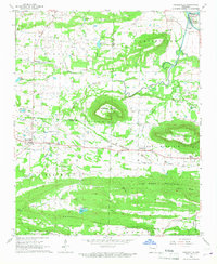
Editions of this 1966 Caulksville Map
2 editions found
Other maps of this area

1879 · Mountain Home
USGS Topo · 1:62,500

1887 · Magazine Mountain #1
USGS Topo · 1:62,500

1887 · Magazine Mountain #4
USGS Topo · 1:62,500

1887 · Magazine Mountain #2
USGS Topo · 1:62,500

1887 · Magazine Mountain #3
USGS Topo · 1:62,500

1887 · Magazine Mountain
USGS Topo · 1:62,500

1890 · Magazine Mountain
USGS Topo · 1:125,000

1934 · Booneville
USGS Topo · 1:48,000

1939 · Booneville
USGS Topo · 1:62,500

1956 · Russellville
USGS Topo · 1:250,000