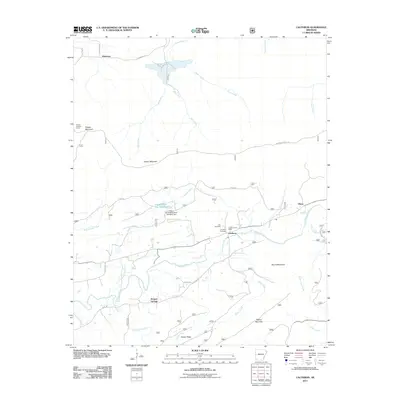
2011 Map of Cauthron
USGS Topo · Published 2011About this map
The Poteau River valley defines the character of this Scott County landscape, where the small community of Cauthron serves as a central point of settlement. This area is characterized by a mix of agricultural valley land and significant high-elevation ridges, most notably the prominent Poteau Mountain to the north and Walker Mountain to the south. Local history is anchored by the Cauthron Post Office and nearby burial grounds including Kirk Cemetery and Cauthron Cemetery, reflecting generations of family settlement in the river basin.
Find a feature on this map
35 named features on this map. Tap any name to fly to it.
Don’t see what you’re looking for? This feature index may not catch every label — zoom into the map to look around manually.
Map Details
Editions of this 2011 Cauthron Map
This is the sole edition of this map. No revisions or reprints were ever made.
Other maps of this area

1879 · Poteau Mountain
USGS Topo · 1:62,500

1887 · Poteau Mountain #1
USGS Topo · 1:62,500

1887 · Poteau Mountain #2
USGS Topo · 1:62,500

1887 · Greenwood
USGS Topo · 1:62,500

1890 · Fort Smith
USGS Topo · 1:125,000

1890 · Poteau Mountain
USGS Topo · 1:125,000

1899 · Poteau Mountain
USGS Topo · 1:125,000

1906 · Barber
USGS Topo · 1:62,500

1939 · Waldron
USGS Topo · 1:62,500

1940 · Waldron
USGS Topo · 1:62,500