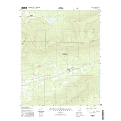
2017 Map of Cauthron
USGS Topo · Published 2017About this map
Ouachita National Forest dominates the landscape in this area along the border of Sebastian and Scott Counties. The terrain is defined by prominent ridges like Poteau Mtn and Walker Mtn, which frame the valley carved by the Poteau River. The small community of Cauthron serves as a local hub near the Cauthron Cem and Kirk Cem, reflecting the area's rural character and settled history.
Find a feature on this map
46 named features on this map. Tap any name to fly to it.
Don’t see what you’re looking for? This feature index may not catch every label — zoom into the map to look around manually.
Map Details
Editions of this 2017 Cauthron Map
This is the sole edition of this map. No revisions or reprints were ever made.
Other maps of this area

1879 · Poteau Mountain
USGS Topo · 1:62,500

1887 · Poteau Mountain #1
USGS Topo · 1:62,500

1887 · Poteau Mountain #2
USGS Topo · 1:62,500

1887 · Greenwood
USGS Topo · 1:62,500

1890 · Fort Smith
USGS Topo · 1:125,000

1890 · Poteau Mountain
USGS Topo · 1:125,000

1899 · Poteau Mountain
USGS Topo · 1:125,000

1906 · Barber
USGS Topo · 1:62,500

1939 · Waldron
USGS Topo · 1:62,500

1940 · Waldron
USGS Topo · 1:62,500