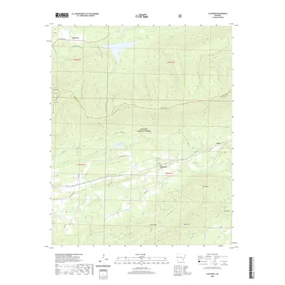
2020 Map of Cauthron
USGS Topo · Published 2020About this map
Cauthron and the surrounding highlands of the Ouachita National Forest define this landscape along the Poteau River. The terrain is marked by significant ridges like Poteau Mtn and Grassy Ridge, which dominate the central and southern portions of the map. Settlement is concentrated along State Hwy 28, where the communities of Patterson and Oliver sit near the river's path. Local heritage is preserved at the Kirk Cem and Cauthron Cem, situated near the winding Sixmile Cr.
Find a feature on this map
42 named features on this map. Tap any name to fly to it.
Don’t see what you’re looking for? This feature index may not catch every label — zoom into the map to look around manually.
Map Details
Editions of this 2020 Cauthron Map
This is the sole edition of this map. No revisions or reprints were ever made.
Other maps of this area

1879 · Poteau Mountain
USGS Topo · 1:62,500

1887 · Poteau Mountain #1
USGS Topo · 1:62,500

1887 · Poteau Mountain #2
USGS Topo · 1:62,500

1887 · Greenwood
USGS Topo · 1:62,500

1890 · Fort Smith
USGS Topo · 1:125,000

1890 · Poteau Mountain
USGS Topo · 1:125,000

1899 · Poteau Mountain
USGS Topo · 1:125,000

1906 · Barber
USGS Topo · 1:62,500

1939 · Waldron
USGS Topo · 1:62,500

1940 · Waldron
USGS Topo · 1:62,500