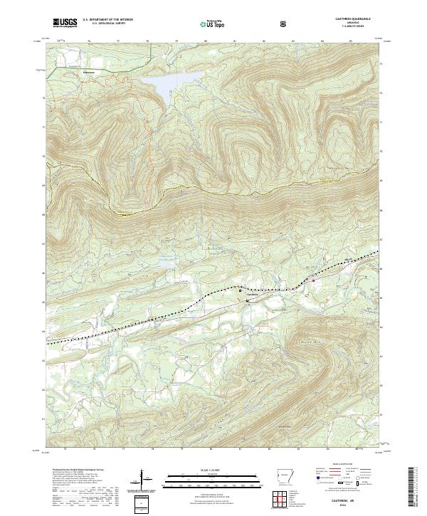
2024 Map of Cauthron
USGS Topo · Published 2024About this map
Cauthron and the surrounding Arkansas river bottoms define this landscape where the Poteau River winds through the valley between Poteau Mtn and Round Mtn. This modern survey reveals a region shaped by its proximity to the Ouachita National Forest and the Poteau Mountain Wilderness, preserving the transition from agricultural valley floors to steep timbered ridges. Local history is anchored by the Cauthron Cem and Kirk Cem, while small settlements like Patterson and Oliver mark the corridor along State Hwy 28. The complex drainage network, including James Fork, Twomile Creek, and Widow Creek, illustrates the hydraulic patterns that dictated early road placement, such as Shadley Creek Rd and Weeks Rd, which still follow the natural contours of the land today.
Find a feature on this map
46 named features on this map. Tap any name to fly to it.
Don’t see what you’re looking for? This feature index may not catch every label — zoom into the map to look around manually.
Map Details
Editions of this 2024 Cauthron Map
This is the sole edition of this map. No revisions or reprints were ever made.
Other maps of this area

1879 · Poteau Mountain
USGS Topo · 1:62,500

1887 · Poteau Mountain #1
USGS Topo · 1:62,500

1887 · Poteau Mountain #2
USGS Topo · 1:62,500

1887 · Greenwood
USGS Topo · 1:62,500

1890 · Fort Smith
USGS Topo · 1:125,000

1890 · Poteau Mountain
USGS Topo · 1:125,000

1899 · Poteau Mountain
USGS Topo · 1:125,000

1906 · Barber
USGS Topo · 1:62,500

1939 · Waldron
USGS Topo · 1:62,500

1940 · Waldron
USGS Topo · 1:62,500