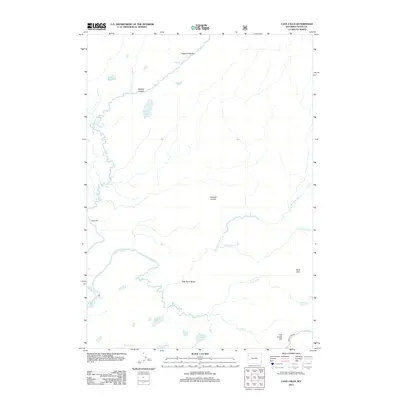
2012 Map of Cave Falls
USGS Topo · Published 2012About this map
Fall River and its numerous tributaries dominate this hydrological landscape in Teton County, Wyoming. The river system is defined by a remarkable series of cataracts, including Iris Falls, Colonnade Falls, Ouzel Falls, and Rainbow Falls, illustrating the dramatic elevation shifts within the Falls River Basin. The Bechler River winds through the northwestern corner, carving out the deep Bechler Canyon and passing through the landmark Rocky Ford.
Find a feature on this map
26 named features on this map. Tap any name to fly to it.
Don’t see what you’re looking for? This feature index may not catch every label — zoom into the map to look around manually.
Map Details
Editions of this 2012 Cave Falls Map
This is the sole edition of this map. No revisions or reprints were ever made.
Other maps of this area

1886 · Shoshone
USGS Topo · 1:125,000

1888 · Shoshone
USGS Topo · 1:125,000

1895 · Shoshone
USGS Topo · 1:125,000

1901 · Shoshone
USGS Topo · 1:125,000

1908 · Shoshone
USGS Topo · 1:125,000

1911 · Shoshone
USGS Topo · 1:125,000

1955 · Ashton
USGS Topo · 1:250,000

1956 · Old Faithful
USGS Topo · 1:62,500

1956 · Grassy Lake Reservoir
USGS Topo · 1:62,500

1957 · Warm River Butte
USGS Topo · 1:62,500