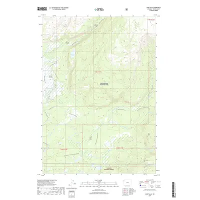
2017 Map of Cave Falls
USGS Topo · Published 2017About this map
Yellowstone National Park and the adjacent Targhee National Forest meet in this wilderness survey of the southwest corner of the park. The landscape is defined by the complex hydrology of the Bechler River and Fall River systems, where numerous cascades such as Ouzel Falls, Colonnade Falls, and Rainbow Falls mark the abrupt descent from high plateau country. The Bechler Meadows area stands out as a significant open basin within the timbered terrain, served by an extensive network of footpaths including the Bechler River Trail and Mountain Ash Creek Trail.
Find a feature on this map
39 named features on this map. Tap any name to fly to it.
Don’t see what you’re looking for? This feature index may not catch every label — zoom into the map to look around manually.
Map Details
Editions of this 2017 Cave Falls Map
This is the sole edition of this map. No revisions or reprints were ever made.
Other maps of this area

1886 · Shoshone
USGS Topo · 1:125,000

1888 · Shoshone
USGS Topo · 1:125,000

1895 · Shoshone
USGS Topo · 1:125,000

1901 · Shoshone
USGS Topo · 1:125,000

1908 · Shoshone
USGS Topo · 1:125,000

1911 · Shoshone
USGS Topo · 1:125,000

1955 · Ashton
USGS Topo · 1:250,000

1956 · Old Faithful
USGS Topo · 1:62,500

1956 · Grassy Lake Reservoir
USGS Topo · 1:62,500

1957 · Warm River Butte
USGS Topo · 1:62,500