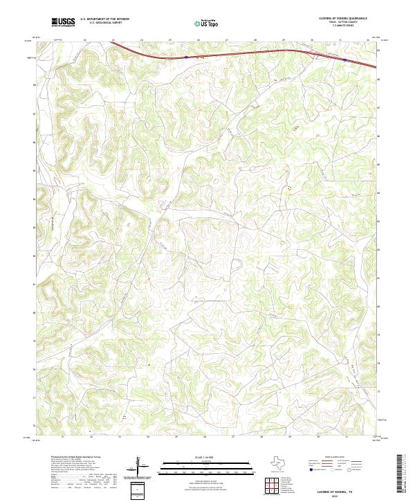
2022 Map of Caverns of Sonora
USGS Topo · Published 2022About this map
Granger Draw and Halbert Draw define the drainage patterns across this Sutton County landscape, where the Edwards Plateau terrain is etched by seasonal watercourses. This modern survey illustrates a territory primarily organized around ranching and transit, with Interstate 10 cutting across the northern reaches accompanied by North Svc Rd. The area is characterized by a complex network of private access routes such as Pvt Rd 4470 and Pvt Rd 1125, which branch off from established arteries like Ranch Rd 1989. These private roads often lead to internal ranch infrastructure and homesteads, reflecting the contemporary land division of West Texas. While the eponymous subterranean features are not labeled on the surface, the topographic contours reveal the subtle draws and limestone ridges typical of the region's karst geology.
Find a feature on this map
16 named features on this map. Tap any name to fly to it.
Don’t see what you’re looking for? This feature index may not catch every label — zoom into the map to look around manually.
Map Details
Editions of this 2022 Caverns of Sonora Map
This is the sole edition of this map. No revisions or reprints were ever made.
Other maps of this area

1954 · Sonora
USGS Topo · 1:250,000

1958 · Sonora
USGS Topo · 1:250,000

1964 · Sonora
USGS Topo · 1:24,000

1964 · Sonora NW
USGS Topo · 1:24,000

1967 · Nolen Draw
USGS Topo · 1:24,000

1967 · Savell Ranch
USGS Topo · 1:24,000

1967 · Dunbar Draw NW
USGS Topo · 1:24,000

1967 · Shafter Draw
USGS Topo · 1:24,000

1967 · Hudspeth Draw
USGS Topo · 1:24,000

1967 · Caverns Of Sonora
USGS Topo · 1:24,000