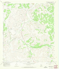
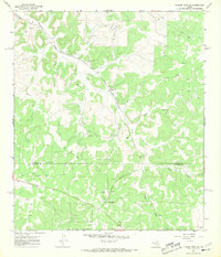
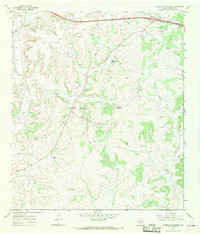
1967 Map of Dunbar Draw NW
USGS Topo · Published 1970About this map
Dry Devils River and its network of ephemeral watercourses, such as Cauthorn Draw and Dunbar Draw, define this Edwards Plateau landscape during the late 1960s. This ranching territory in Sutton County shows a pattern of widely dispersed family-held lands, including the E Sawyer Ranch, Kelly Ranch, and Galbreath Ranch. The infrastructure of the era is marked by early petroleum exploration, with numerous Gas Wells scattered across the limestone hills. Local transportation and land use are centered around Cusenbury Draw, where Cusenbury Road and the Old Juno Road follow the natural topography. Geological features like Word Cave and a remote Landing Strip illustrate the isolation and specialized needs of these West Texas ranching operations.
Find a feature on this map
19 named features on this map. Tap any name to fly to it.
Don’t see what you’re looking for? This feature index may not catch every label — zoom into the map to look around manually.
Map Details
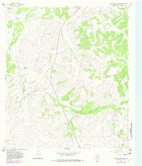
Editions of this 1967 Dunbar Draw NW Map
2 editions found
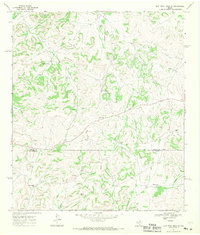
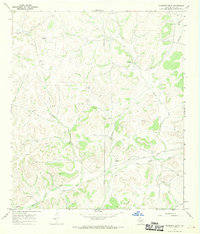
Other maps of this area

1954 · Sonora
USGS Topo · 1:250,000

1958 · Sonora
USGS Topo · 1:250,000
1964 · Sonora
USGS Topo · 1:24,000
1964 · Sonora SE
USGS Topo · 1:24,000
1967 · Dunbar Draw SW
USGS Topo · 1:24,000
1967 · Flat Rock Draw SE
USGS Topo · 1:24,000
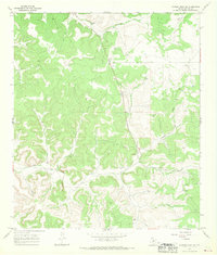
1967 · Dunbar Draw NE
USGS Topo · 1:24,000
1967 · Hudspeth Draw
USGS Topo · 1:24,000
1967 · Caverns Of Sonora
USGS Topo · 1:24,000
1967 · Dunbar Draw SE
USGS Topo · 1:24,000