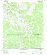
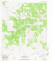
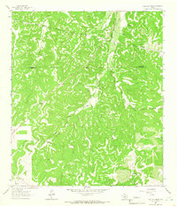
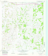
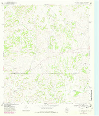
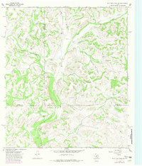
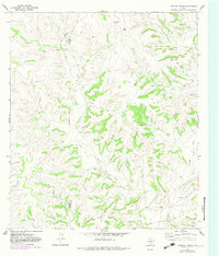
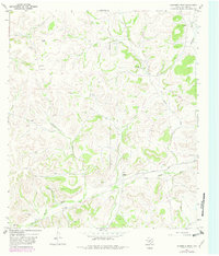
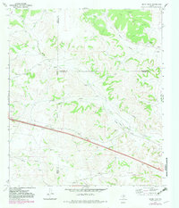
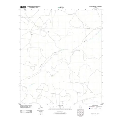
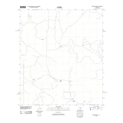
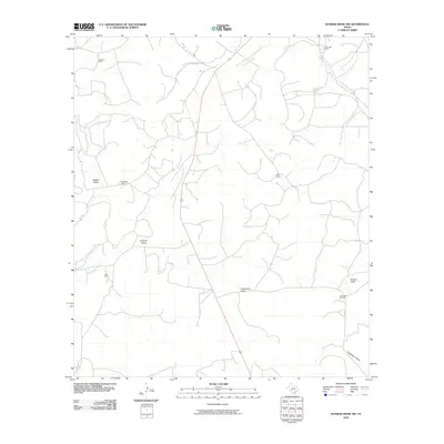
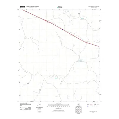
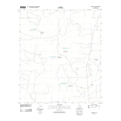
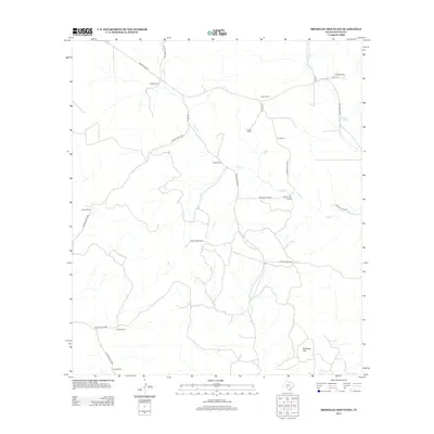
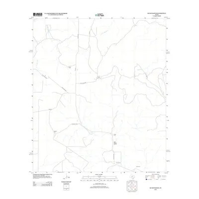
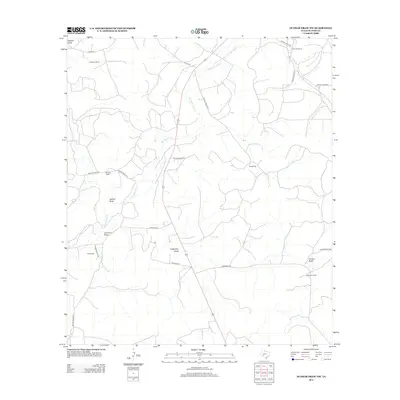
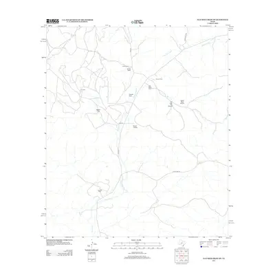
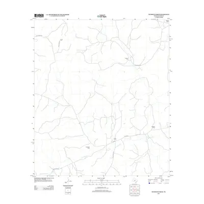
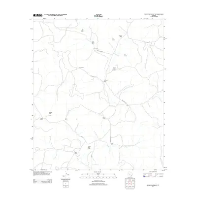
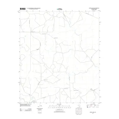
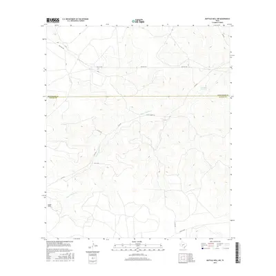
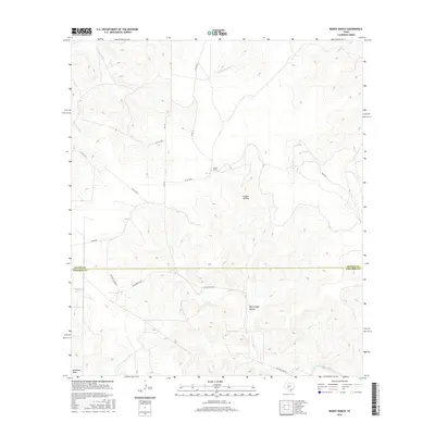
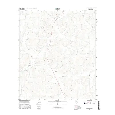
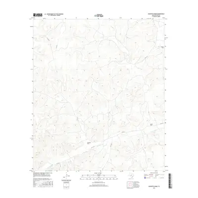
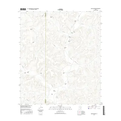
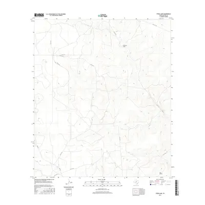
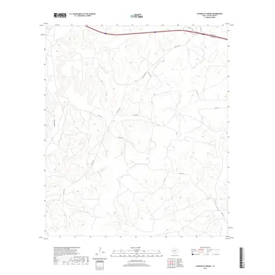
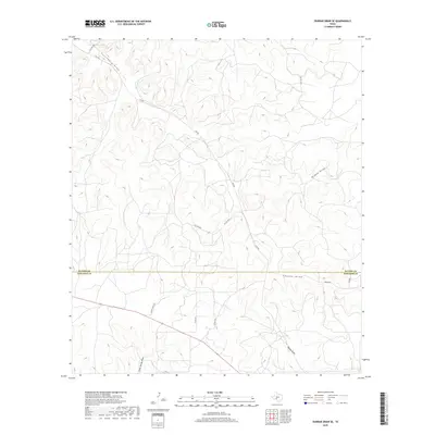
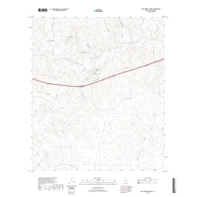
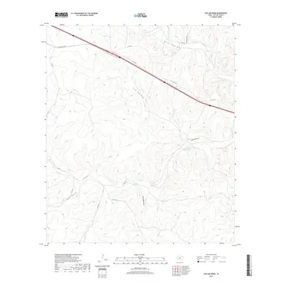
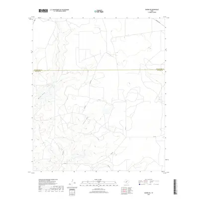
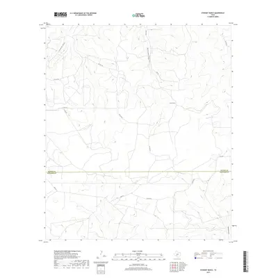
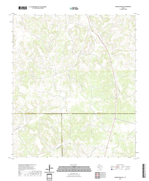
1967 Map of Dunbar Draw SE
USGS Topo · Published 1987About this map
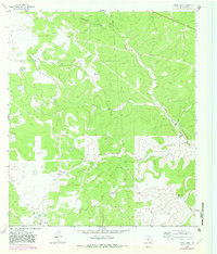
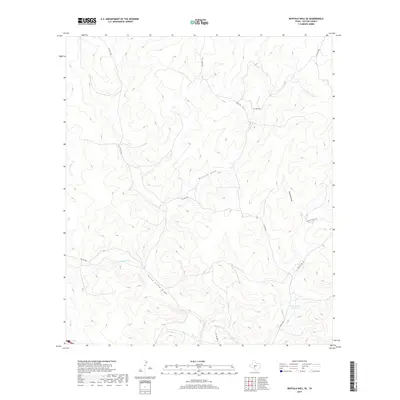
The Texas A and M Experimental Station anchors the southern portion of this landscape, reflecting the region's historical commitment to agricultural and livestock research. Crossing the line between Sutton and Edwards counties, the terrain is defined by a series of prominent drainage systems including Cusenbary Draw, McKee Draw, and Wheat Draw. These ephemeral waterways shape the movement of ranching operations across the Edwards Plateau, where family-named holdings like the Bex Cusenbary Ranch and Morris Ranch are connected by the winding Cusenbary Road.
Find a feature on this map
19 named features on this map. Tap any name to fly to it.
Don’t see what you’re looking for? This feature index may not catch every label — zoom into the map to look around manually.
Map Details
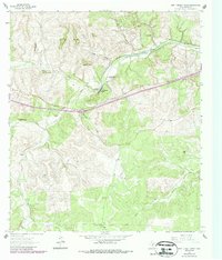
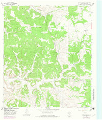
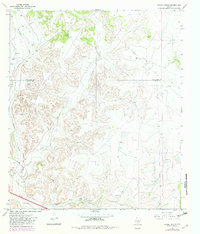
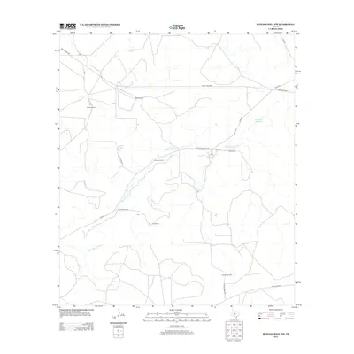
Editions of this 1967 Dunbar Draw SE Map
This is the sole edition of this map. No revisions or reprints were ever made.
Historical Maps of Sutton County Through Time
162 maps found
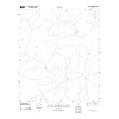
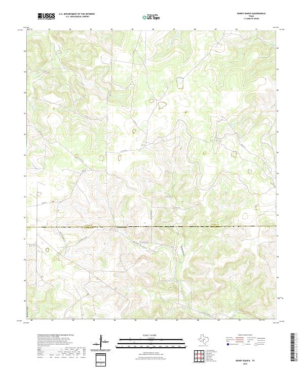
1962 Bundy Ranch
Sutton County, TX
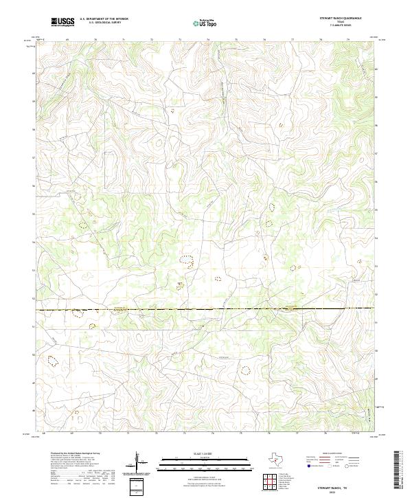
1962 Stewart Ranch
Sutton County, TX
1963 Brokeleg Mountain
Sutton County, TX
1963 Buffalo Well NW
Sutton County, TX
1963 Buffalo Well SE
Sutton County, TX
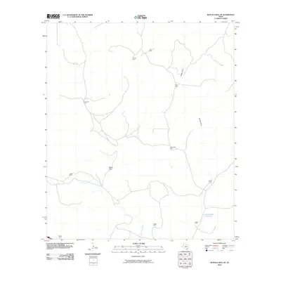
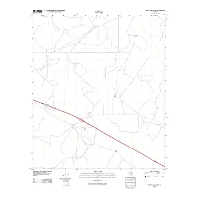
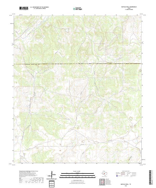
1963 Buffalo Well
Sutton County, TX
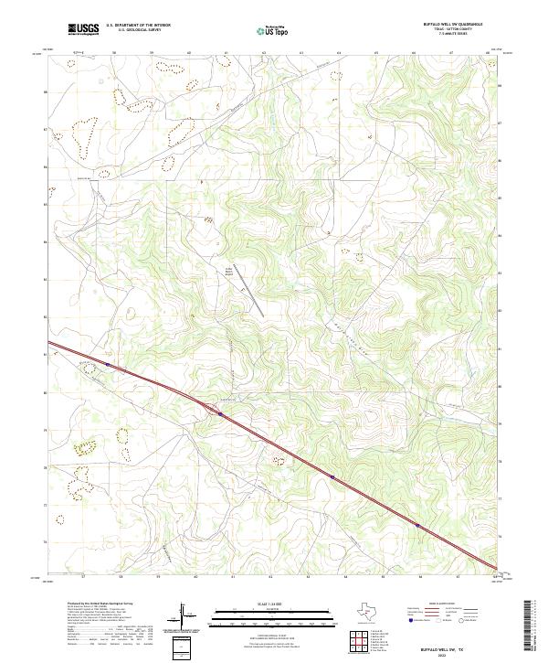
1963 Buffalo Well SW
Sutton County, TX
1963 Coal Kiln Draw
Sutton County, TX
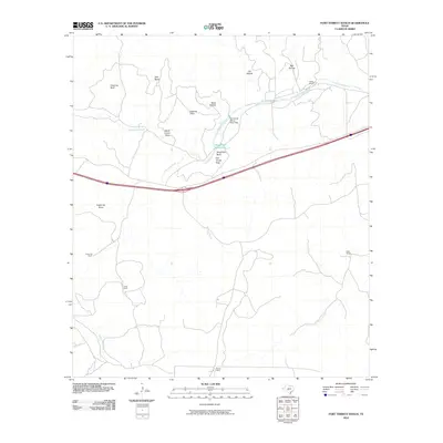
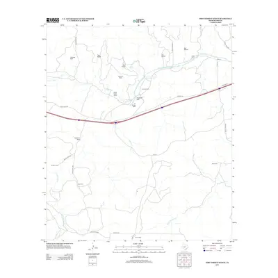
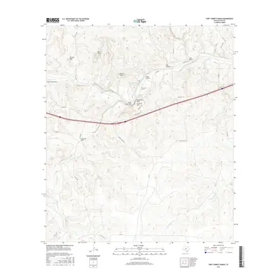
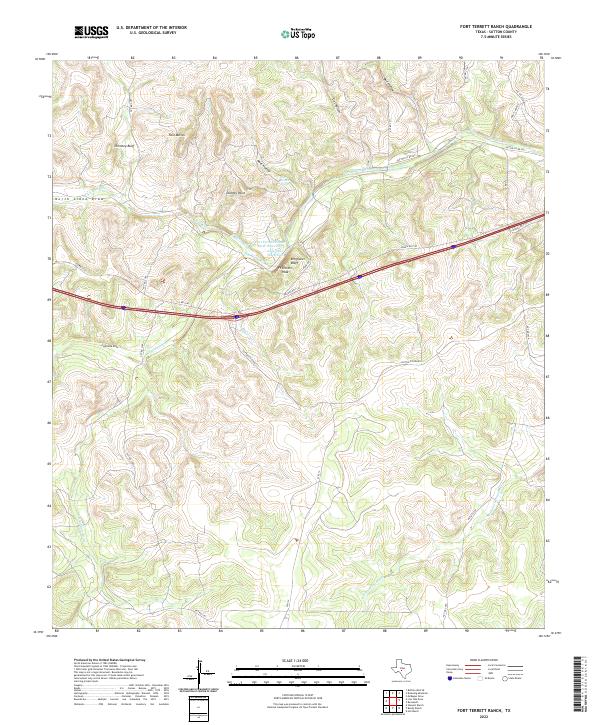
1963 Fort Terrett Ranch
Sutton County, TX
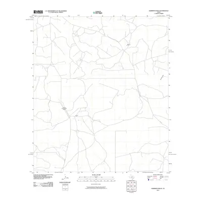
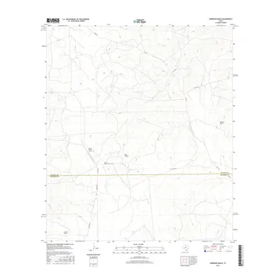
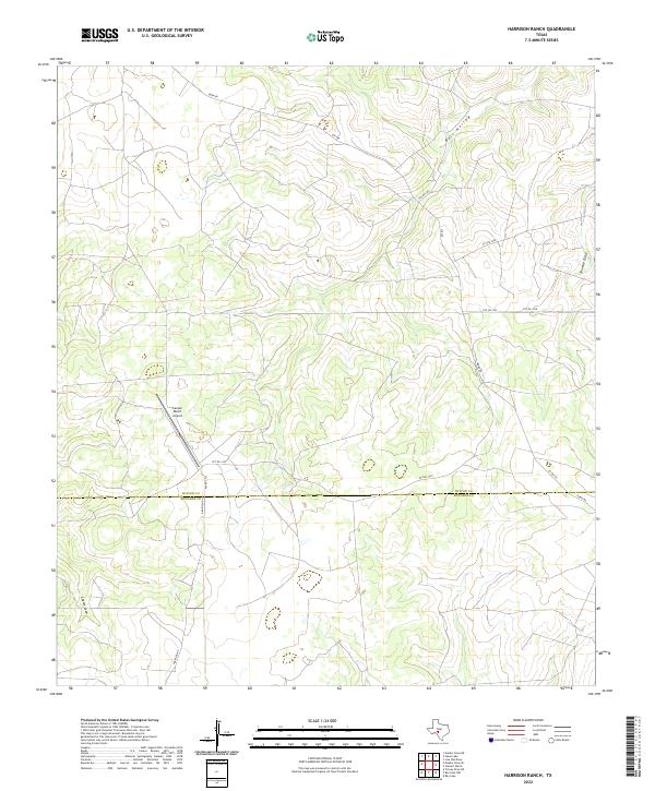
1963 Harrison Ranch
Sutton County, TX
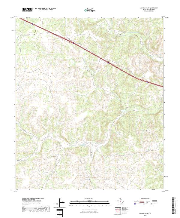
1963 Live Oak Draw
Sutton County, TX
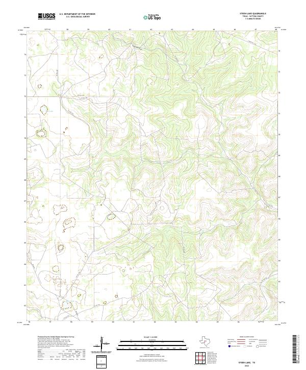
1963 Steen Lake
Sutton County, TX
1964 Sonora NE
Sutton County, TX
1964 Sonora NW
Sutton County, TX
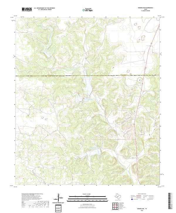
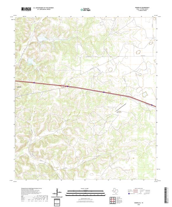
1964 Sonora SE
Sutton County, TX
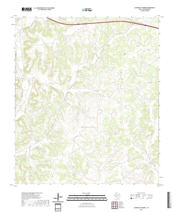
1967 Caverns Of Sonora
Sutton County, TX
1967 Dunbar Draw NE
Sutton County, TX
1967 Dunbar Draw NW
Sutton County, TX
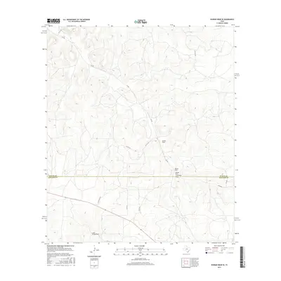
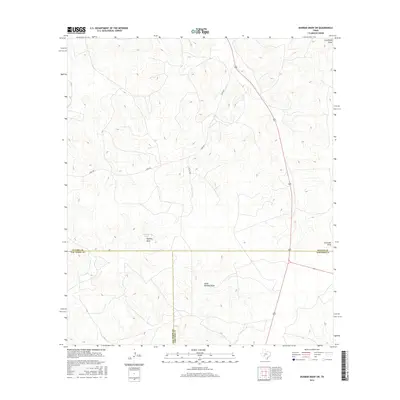
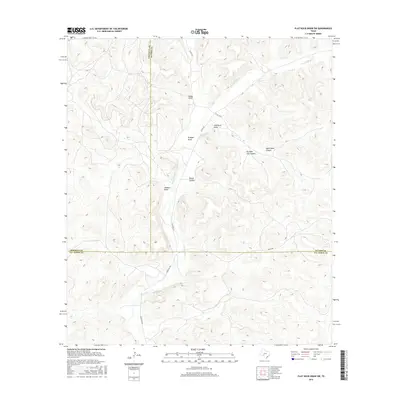
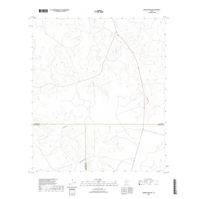
1967 Dunbar Draw SE
Sutton County, TX
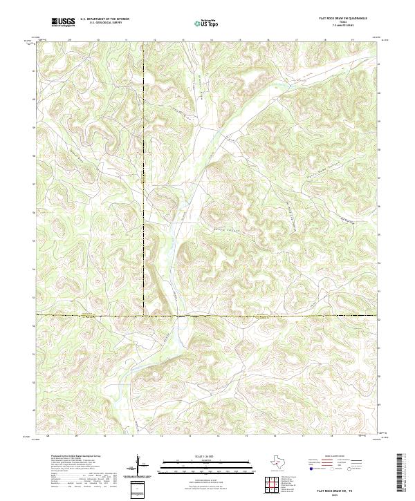
1967 Dunbar Draw SW
Sutton County, TX
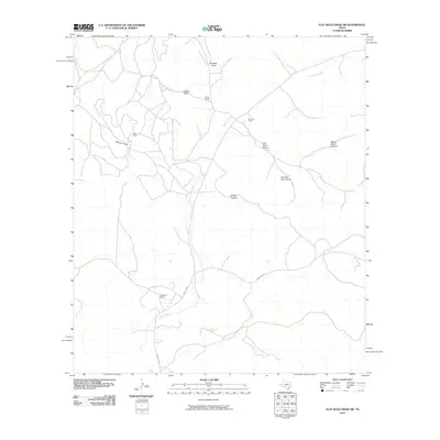
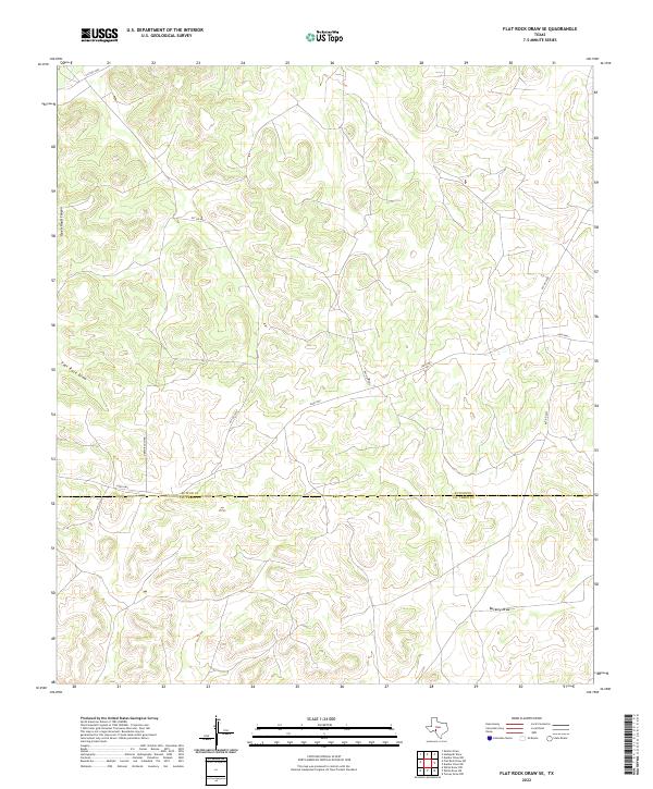
1967 Flat Rock Draw SE
Sutton County, TX
1967 Flat Rock Draw SW
Sutton County, TX
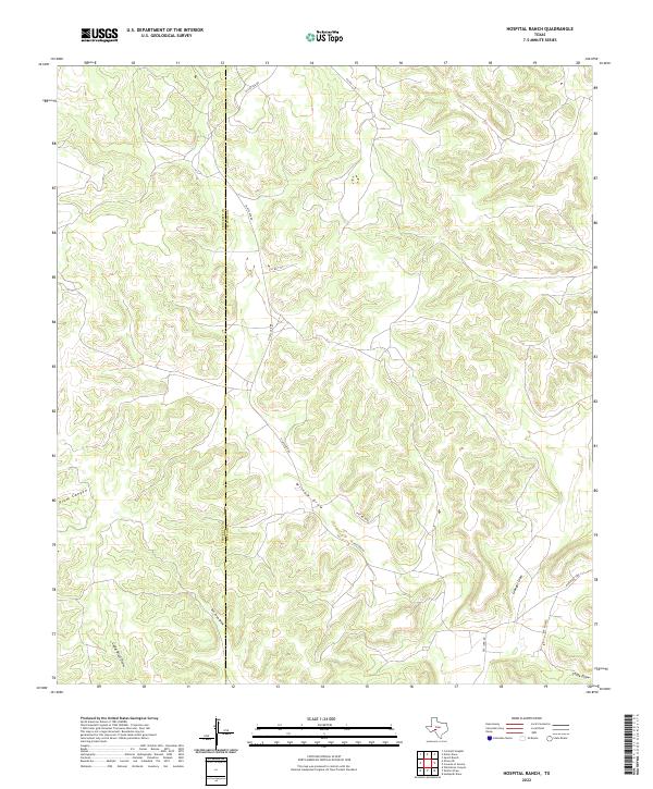
1967 Hospital Ranch
Sutton County, TX
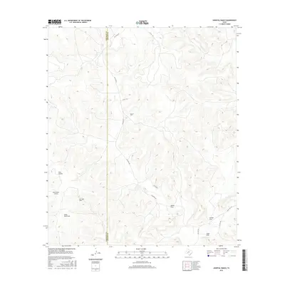
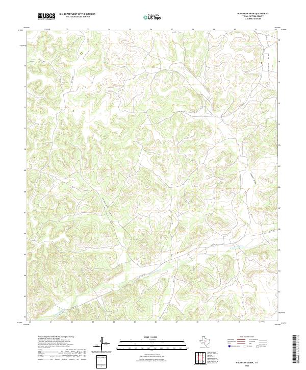
1967 Hudspeth Draw
Sutton County, TX
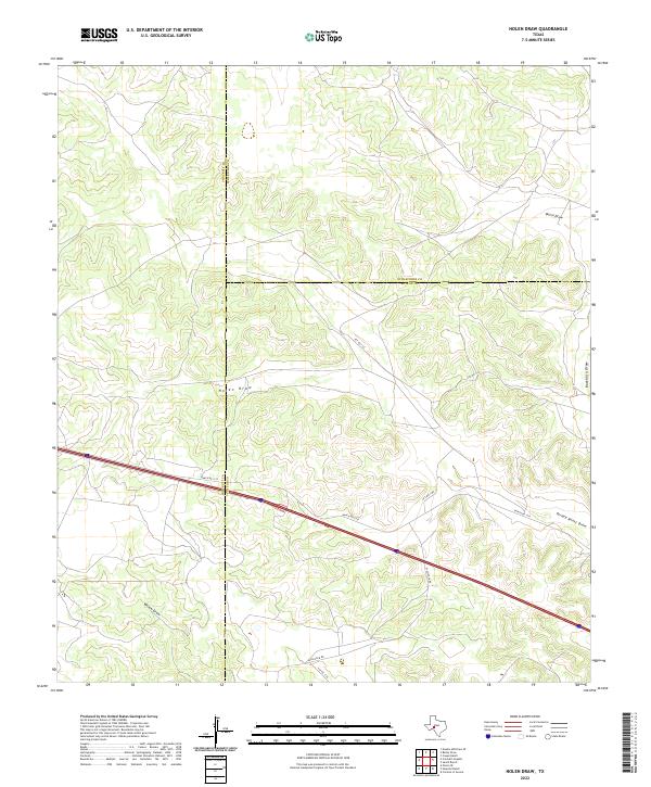
1967 Nolen Draw
Sutton County, TX
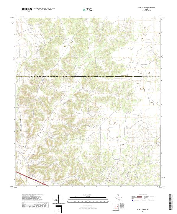
1967 Savell Ranch
Sutton County, TX
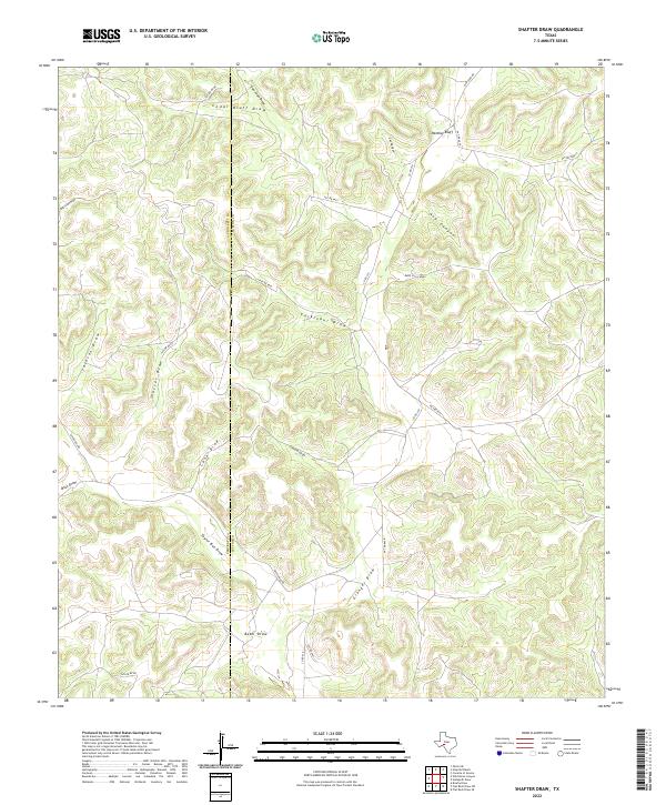
1967 Shafter Draw
Sutton County, TX
2010 Brokeleg Mountain
Sutton County, TX
2010 Buffalo Well NW
Sutton County, TX
2010 Buffalo Well SE
Sutton County, TX
2010 Buffalo Well
Sutton County, TX
2010 Buffalo Well SW
Sutton County, TX
2010 Bundy Ranch
Sutton County, TX
2010 Caverns of Sonora
Sutton County, TX
2010 Coal Kiln Draw
Sutton County, TX
2010 Dunbar Draw NE
Sutton County, TX
2010 Dunbar Draw NW
Sutton County, TX
2010 Dunbar Draw SE
Sutton County, TX
2010 Dunbar Draw SW
Sutton County, TX
2010 Flat Rock Draw SE
Sutton County, TX
2010 Flat Rock Draw SW
Sutton County, TX
2010 Fort Terrett Ranch
Sutton County, TX
2010 Harrison Ranch
Sutton County, TX

2010 Hospital Ranch
Sutton County, TX
2010 Hudspeth Draw
Sutton County, TX
2010 Live Oak Draw
Sutton County, TX
2010 Nolen Draw
Sutton County, TX
2010 Savell Ranch
Sutton County, TX

2010 Shafter Draw
Sutton County, TX
2010 Sonora NE
Sutton County, TX
2010 Sonora NW
Sutton County, TX
2010 Sonora SE
Sutton County, TX
2010 Steen Lake
Sutton County, TX
2010 Stewart Ranch
Sutton County, TX
2012 Brokeleg Mountain
Sutton County, TX
2012 Buffalo Well NW
Sutton County, TX
2012 Buffalo Well SE
Sutton County, TX
2012 Buffalo Well SW
Sutton County, TX
2012 Bundy Ranch
Sutton County, TX
2012 Caverns of Sonora
Sutton County, TX
2012 Coal Kiln Draw
Sutton County, TX
2012 Dunbar Draw NE
Sutton County, TX
2012 Dunbar Draw NW
Sutton County, TX
2012 Dunbar Draw SE
Sutton County, TX
2012 Dunbar Draw SW
Sutton County, TX
2012 Flat Rock Draw SE
Sutton County, TX
2012 Flat Rock Draw SW
Sutton County, TX
2012 Fort Terrett Ranch
Sutton County, TX
2012 Harrison Ranch
Sutton County, TX
2012 Hospital Ranch
Sutton County, TX
2012 Hudspeth Draw
Sutton County, TX
2012 Live Oak Draw
Sutton County, TX
2012 Nolen Draw
Sutton County, TX
2012 Savell Ranch
Sutton County, TX
2012 Shafter Draw
Sutton County, TX
2012 Sonora NE
Sutton County, TX
2012 Sonora NW
Sutton County, TX
2012 Sonora SE
Sutton County, TX
2012 Steen Lake
Sutton County, TX
2012 Stewart Ranch
Sutton County, TX
2013 Buffalo Well
Sutton County, TX
2016 Brokeleg Mountain
Sutton County, TX
2016 Buffalo Well NW
Sutton County, TX
2016 Buffalo Well SE
Sutton County, TX
2016 Buffalo Well
Sutton County, TX
2016 Buffalo Well SW
Sutton County, TX
2016 Bundy Ranch
Sutton County, TX
2016 Caverns of Sonora
Sutton County, TX
2016 Coal Kiln Draw
Sutton County, TX
2016 Dunbar Draw NE
Sutton County, TX
2016 Dunbar Draw NW
Sutton County, TX
2016 Dunbar Draw SE
Sutton County, TX
2016 Dunbar Draw SW
Sutton County, TX
2016 Flat Rock Draw SE
Sutton County, TX
2016 Flat Rock Draw SW
Sutton County, TX
2016 Fort Terrett Ranch
Sutton County, TX
2016 Harrison Ranch
Sutton County, TX
2016 Hospital Ranch
Sutton County, TX
2016 Hudspeth Draw
Sutton County, TX
2016 Live Oak Draw
Sutton County, TX
2016 Nolen Draw
Sutton County, TX
2016 Savell Ranch
Sutton County, TX
2016 Shafter Draw
Sutton County, TX
2016 Sonora NE
Sutton County, TX
2016 Sonora NW
Sutton County, TX
2016 Sonora SE
Sutton County, TX
2016 Steen Lake
Sutton County, TX
2016 Stewart Ranch
Sutton County, TX
2019 Brokeleg Mountain
Sutton County, TX
2019 Buffalo Well NW
Sutton County, TX
2019 Buffalo Well SE
Sutton County, TX
2019 Buffalo Well
Sutton County, TX
2019 Buffalo Well SW
Sutton County, TX
2019 Bundy Ranch
Sutton County, TX
2019 Caverns of Sonora
Sutton County, TX
2019 Coal Kiln Draw
Sutton County, TX
2019 Dunbar Draw NE
Sutton County, TX
2019 Dunbar Draw NW
Sutton County, TX
2019 Dunbar Draw SE
Sutton County, TX
2019 Dunbar Draw SW
Sutton County, TX
2019 Flat Rock Draw SE
Sutton County, TX
2019 Flat Rock Draw SW
Sutton County, TX
2019 Fort Terrett Ranch
Sutton County, TX
2019 Harrison Ranch
Sutton County, TX
2019 Hospital Ranch
Sutton County, TX
2019 Hudspeth Draw
Sutton County, TX
2019 Live Oak Draw
Sutton County, TX
2019 Nolen Draw
Sutton County, TX
2019 Savell Ranch
Sutton County, TX
2019 Shafter Draw
Sutton County, TX
2019 Sonora NE
Sutton County, TX
2019 Sonora NW
Sutton County, TX
2019 Sonora SE
Sutton County, TX
2019 Steen Lake
Sutton County, TX
2019 Stewart Ranch
Sutton County, TX
2022 Brokeleg Mountain
Sutton County, TX
2022 Buffalo Well NW
Sutton County, TX
2022 Buffalo Well SE
Sutton County, TX
2022 Buffalo Well
Sutton County, TX
2022 Buffalo Well SW
Sutton County, TX
2022 Bundy Ranch
Sutton County, TX
2022 Caverns of Sonora
Sutton County, TX
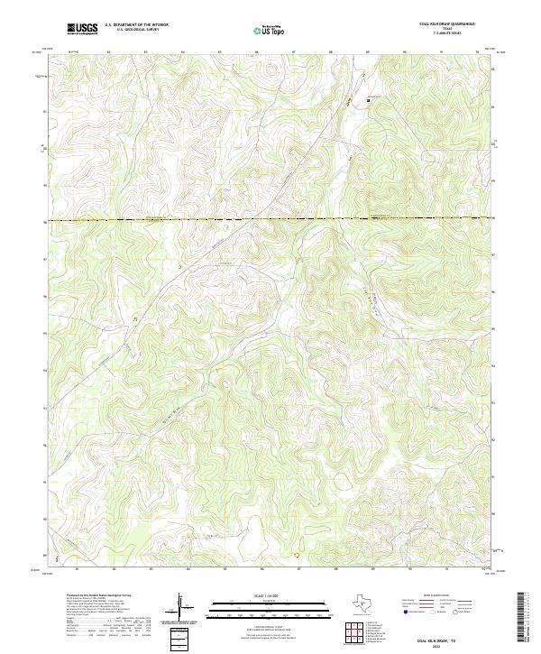
2022 Coal Kiln Draw
Sutton County, TX
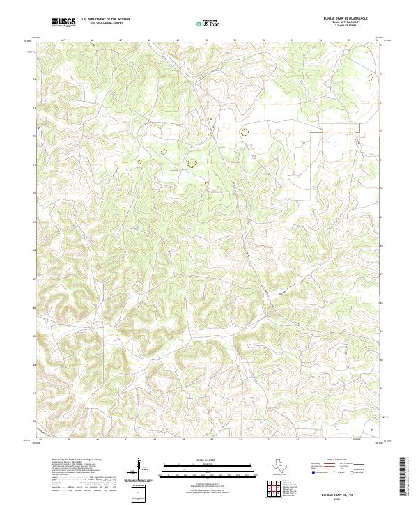
2022 Dunbar Draw NE
Sutton County, TX
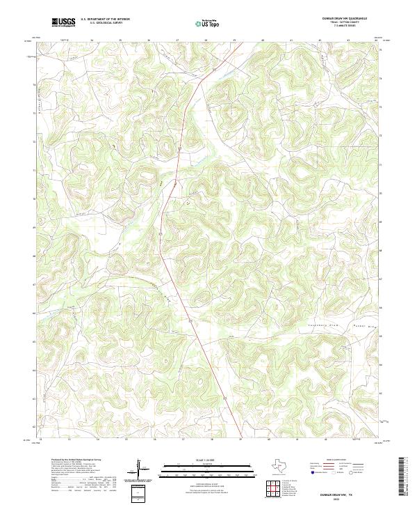
2022 Dunbar Draw NW
Sutton County, TX
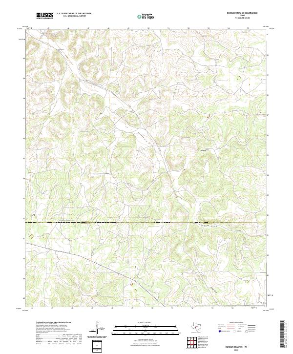
2022 Dunbar Draw SE
Sutton County, TX
2022 Dunbar Draw SW
Sutton County, TX
2022 Flat Rock Draw SE
Sutton County, TX
2022 Flat Rock Draw SW
Sutton County, TX
2022 Fort Terrett Ranch
Sutton County, TX
2022 Harrison Ranch
Sutton County, TX
2022 Hospital Ranch
Sutton County, TX
2022 Hudspeth Draw
Sutton County, TX
2022 Live Oak Draw
Sutton County, TX
2022 Nolen Draw
Sutton County, TX
2022 Savell Ranch
Sutton County, TX
2022 Shafter Draw
Sutton County, TX
2022 Sonora NE
Sutton County, TX
2022 Sonora NW
Sutton County, TX
2022 Sonora SE
Sutton County, TX
2022 Steen Lake
Sutton County, TX
2022 Stewart Ranch
Sutton County, TX