
1967 Map of Caverns Of Sonora
USGS Topo · Published 1970About this map
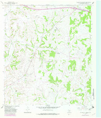
The Caverns of Sonora anchor this remote section of Sutton County, Texas, as surveyed in the late 1960s. The landscape is defined by the ephemeral watercourses of Granger Draw and Halbert Draw, which cut through a terrain of limestone and ranchland. This era of land use is characterized by a network of private airstrips and family holdings, including the Mayer Bryden Ranch, Locklin Ranch, and Simmons Ranch.
Find a feature on this map
22 named features on this map. Tap any name to fly to it.
Don’t see what you’re looking for? This feature index may not catch every label — zoom into the map to look around manually.
Map Details
Editions of this 1967 Caverns Of Sonora Map
2 editions found
Other maps of this area

1954 · Sonora
USGS Topo · 1:250,000

1958 · Sonora
USGS Topo · 1:250,000

1964 · Sonora
USGS Topo · 1:24,000

1964 · Sonora NW
USGS Topo · 1:24,000

1967 · Nolen Draw
USGS Topo · 1:24,000

1967 · Savell Ranch
USGS Topo · 1:24,000

1967 · Dunbar Draw NW
USGS Topo · 1:24,000

1967 · Shafter Draw
USGS Topo · 1:24,000

1967 · Hudspeth Draw
USGS Topo · 1:24,000
1967 · Hospital Ranch
USGS Topo · 1:24,000