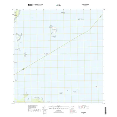
2018 Map of Cayo Icacos
USGS Topo · Published 2018About this map
Las Croabas and the coastal edges of Fajardo front an expansive maritime landscape dominated by the Sonda De Vieques. This survey details a complex network of cays and islands, from the prominent Isla Palominos and Isla Palominitos in the central waters to the clustered formations near the shore such as Isleta Marina and Cayo Ahogado. The geography is defined by sharp coastal points like Cabo San Juan and Punta Gorda, which frame the anchorage at Rada Fajardo.
Find a feature on this map
26 named features on this map. Tap any name to fly to it.
Don’t see what you’re looking for? This feature index may not catch every label — zoom into the map to look around manually.
Map Details
Editions of this 2018 Cayo Icacos Map
This is the sole edition of this map. No revisions or reprints were ever made.
Other maps of this area

1945 · Cayo Icacos
USGS Topo · 1:30,000

1946 · Punta Puerca
USGS Topo · 1:30,000

1946 · Naguabo
USGS Topo · 1:30,000

1946 · Fajardo
USGS Topo · 1:30,000

1947 · Naguabo NE
USGS Topo · 1:10,000

1947 · Fajardo NE
USGS Topo · 1:10,000
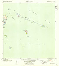
1952 · Cayo Icacos
USGS Topo · 1:30,000

1952 · Punta Puerca
USGS Topo · 1:30,000
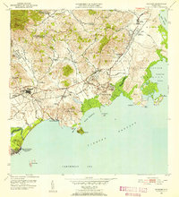
1952 · Naguabo
USGS Topo · 1:30,000
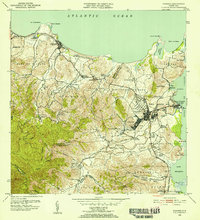
1952 · Fajardo
USGS Topo · 1:30,000