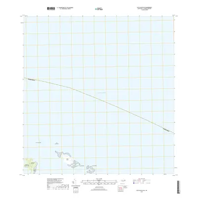
2018 Map of Cayo Icacos OE N
USGS Topo · Published 2018About this map
Cabezas de San Juan marks the northeastern tip of the Island of Puerto Rico, where the coastline meets the open waters of the Atlantic Ocean. This maritime landscape is defined by the scattered islands of La Cordillera, a chain of small cays that includes Cayo Icacos, Cayo Ratones, and Cayo Lobos. These small landmasses serve as critical markers for the channels and reefs surrounding the main island's northern shore. Along the coast, Playa Canalejo provides a local reference point near the prominent headlands. Further offshore, isolated features like Las Cucarachas and Los Farallones indicate the hazards and natural formations that characterize this coastal environment. The survey captures the relationship between the mainland and its surrounding archipelago at a point in time before major topographical changes occur.
Find a feature on this map
12 named features on this map. Tap any name to fly to it.
Don’t see what you’re looking for? This feature index may not catch every label — zoom into the map to look around manually.
Map Details
Editions of this 2018 Cayo Icacos OE N Map
This is the sole edition of this map. No revisions or reprints were ever made.
Other maps of this area

1945 · Cayo Icacos
USGS Topo · 1:30,000

1946 · Fajardo
USGS Topo · 1:30,000

1947 · Fajardo NE
USGS Topo · 1:10,000
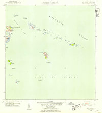
1952 · Cayo Icacos
USGS Topo · 1:30,000
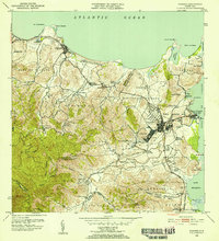
1952 · Fajardo
USGS Topo · 1:30,000
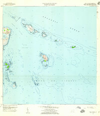
1958 · Cayo Icacos
USGS Topo · 1:20,000
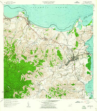
1958 · Fajardo
USGS Topo · 1:20,000
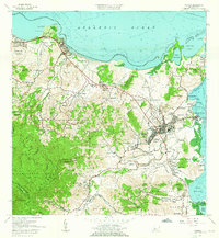
1962 · Fajardo
USGS Topo · 1:20,000
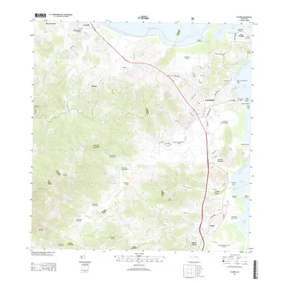
2013 · Fajardo
USGS Topo · 1:20,000
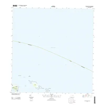
2013 · Cayo Icacos OE N
USGS Topo · 1:20,000