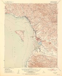
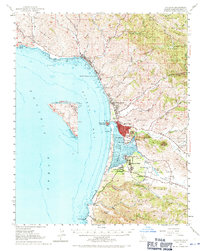
1951 Map of Cayucos
USGS Topo · Published 1953About this map
Estero Bay and the coastal landscape of San Luis Obispo County are captured here just after the mid-century, showing the development of Cayucos and the evolving community of Morro Bay. The map highlights the coastal shelf between the Pacific Ocean and the rising peaks of the Santa Lucia Range, including prominent landmarks like Morro Rock and Valencia Peak. Further inland, the drainage patterns of Chorro Creek and Los Osos Creek define the agricultural corridors of the Los Osos Valley, where small rural schoolhouses like Sunnyside Sch and Los Osos Sch served local families.
Find a feature on this map
58 named features on this map. Tap any name to fly to it.
Don’t see what you’re looking for? This feature index may not catch every label — zoom into the map to look around manually.
Map Details
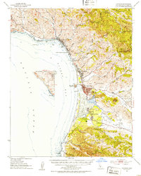
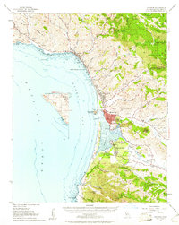
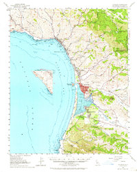
Editions of this 1951 Cayucos Map
5 editions found
Other maps of this area

1897 · Port Harford
USGS Topo · 1:62,500

1897 · San Luis Obispo
USGS Topo · 1:62,500

1897 · Cayucos
USGS Topo · 1:62,500

1897 · Arroyo Grande
USGS Topo · 1:62,500

1900 · San Luis
USGS Topo · 1:125,000

1919 · Paso Robles
USGS Topo · 1:62,500

1919 · Adelaida
USGS Topo · 1:62,500

1919 · San Simeon
USGS Topo · 1:62,500

1932 · Adelaida
USGS Topo · 1:62,500

1937 · Cayucos
USGS Topo · 1:62,500