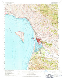
1951 Map of Cayucos
USGS Topo · Published 1971About this map
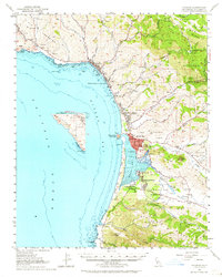
The central California coastline during the early 1950s is defined here by the distinctive silhouette of Morro Rock and the burgeoning communities surrounding Estero Bay. This survey captures the transition of the shoreline from the established ranching and dairy lands of Pecho y Islay to new residential developments like Cuesta-By-The-Sea and Baywood Park. The landscape is punctuated by the volcanic plugs of the Santa Lucia Range, including the prominent Hollister Peak and Cerro Cabrillo.
Find a feature on this map
71 named features on this map. Tap any name to fly to it.
Don’t see what you’re looking for? This feature index may not catch every label — zoom into the map to look around manually.
Map Details
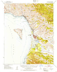
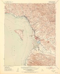
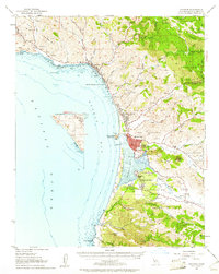
Editions of this 1951 Cayucos Map
5 editions found
Other maps of this area

1897 · Port Harford
USGS Topo · 1:62,500

1897 · San Luis Obispo
USGS Topo · 1:62,500

1897 · Cayucos
USGS Topo · 1:62,500

1897 · Arroyo Grande
USGS Topo · 1:62,500

1900 · San Luis
USGS Topo · 1:125,000

1919 · Paso Robles
USGS Topo · 1:62,500

1919 · Adelaida
USGS Topo · 1:62,500

1919 · San Simeon
USGS Topo · 1:62,500

1932 · Adelaida
USGS Topo · 1:62,500

1937 · Cayucos
USGS Topo · 1:62,500