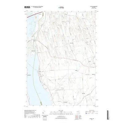
2019 Map of Cayuga
USGS Topo · Published 2019About this map
Cayuga Lake and the Seneca River define the western reaches of this landscape, where the waters of the Clyde River meet the northern marshes. The village of Cayuga sits perched on the shoreline, serving as a focal point for a region characterized by its historical transit corridors and scattered agrarian settlements. Evidence of the area's maritime and engineering history is found at the Cay and Sen Canal Bridge and Mud Lock, critical infrastructure points connecting the local waterways.
Find a feature on this map
94 named features on this map. Tap any name to fly to it.
Don’t see what you’re looking for? This feature index may not catch every label — zoom into the map to look around manually.
Map Details
Editions of this 2019 Cayuga Map
This is the sole edition of this map. No revisions or reprints were ever made.
Other maps of this area

1899 · Auburn
USGS Topo · 1:62,500

1902 · Geneva
USGS Topo · 1:62,500

1902 · Clyde
USGS Topo · 1:62,500

1902 · Weedsport
USGS Topo · 1:62,500

1902 · Auburn
USGS Topo · 1:62,500

1943 · Montezuma
USGS Topo · 1:31,680

1943 · Cayuga
USGS Topo · 1:31,680
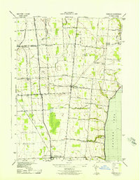
1943 · Romulus
USGS Topo · 1:31,680
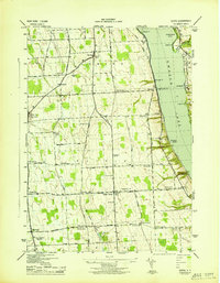
1943 · Scipio
USGS Topo · 1:31,680

1943 · Savannah
USGS Topo · 1:31,680