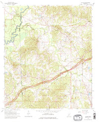
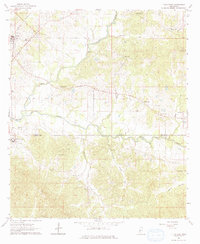
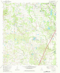
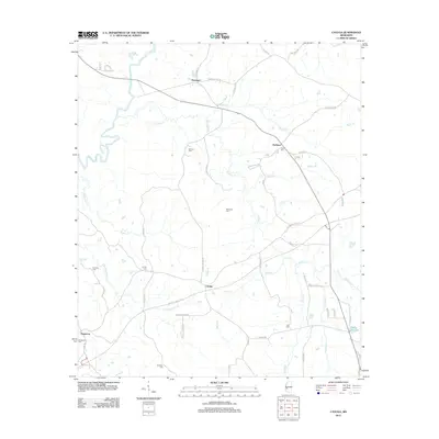
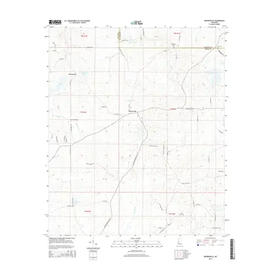
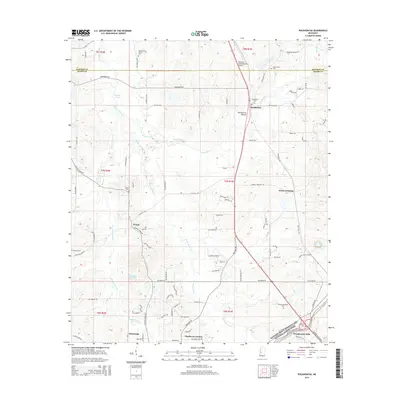
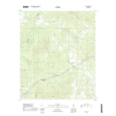
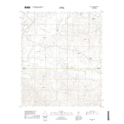
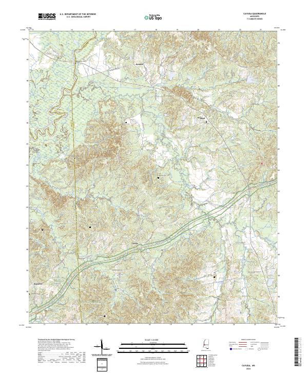
1963 Map of Cayuga
USGS Topo · Published 1979About this map
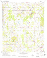
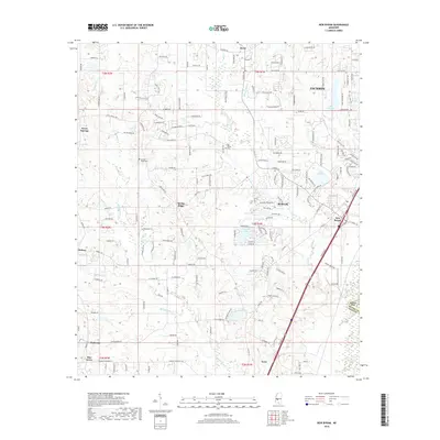
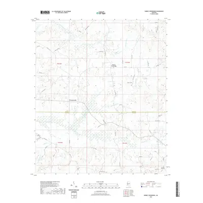
Natchez Trace Parkway bisects this landscape, tracing a line through the rolling creek-carved terrain where Claiborne and Hinds counties meet. The small settlement of Cayuga serves as a central hub, surrounded by a high density of family and community landmarks that speak to the area's deep genealogical roots. Numerous burial sites, including Belmont Cem, Cayuga Cem, and the Henderson Cem, are scattered along the drainage basins of Fivemile Creek and Jones Creek. To the northwest, the Big Black River forms a wide alluvial plain, marked by an Indian Mound that suggests ancient habitation long before the establishment of late-century communities like Newman and Hubbard. The presence of several rural institutions, such as Poplar Grove Ch and Hubbard Sch, illustrates the early 1960s social geography of this corner of Mississippi.
Find a feature on this map
39 named features on this map. Tap any name to fly to it.
Don’t see what you’re looking for? This feature index may not catch every label — zoom into the map to look around manually.
Map Details
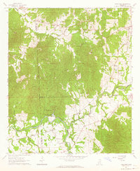
Editions of this 1963 Cayuga Map
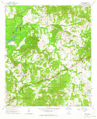
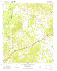
Historical Maps of Cayuga Through Time
58 maps found
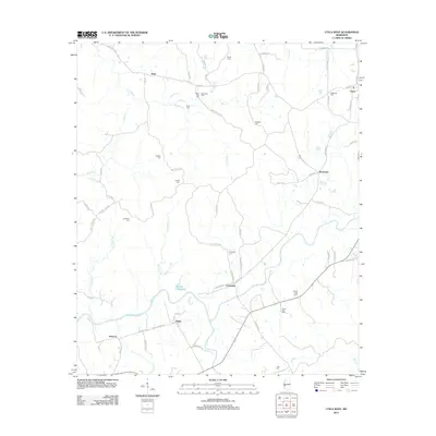
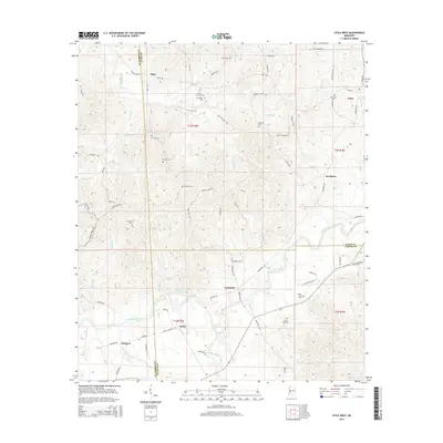
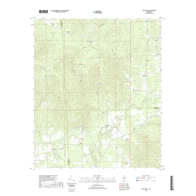
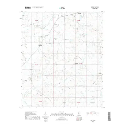
1962 Utica West
Hinds County, MS
1963 Cayuga
Hinds County, MS
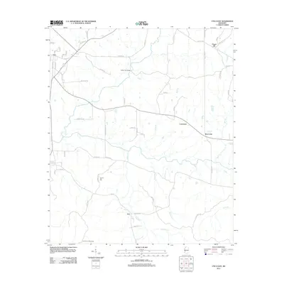
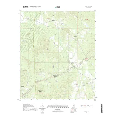
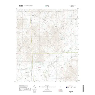
1963 Utica East
Hinds County, MS
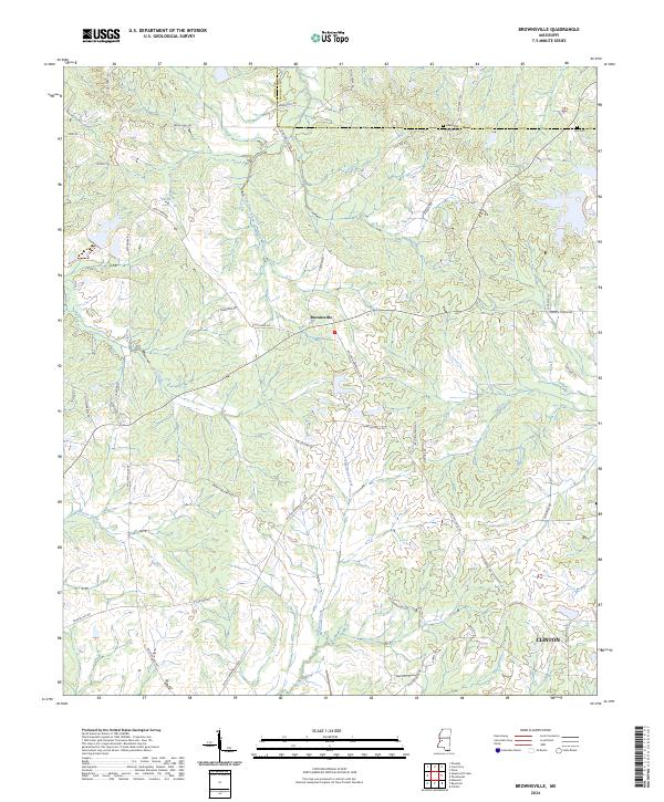
1971 Brownsville
Hinds County, MS
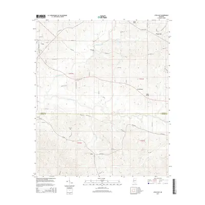
1971 Dabney Crossroads
Hinds County, MS
1971 New Byram
Hinds County, MS
1971 Pocahontas
Hinds County, MS
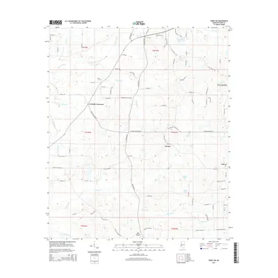
1971 Terry NW
Hinds County, MS
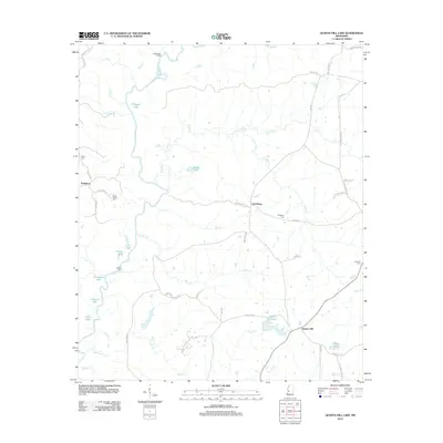
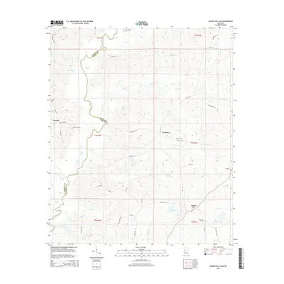
1972 Queens Hill Lake
Hinds County, MS
1980 Brownsville
Hinds County, MS
1980 New Byram
Hinds County, MS
1980 Pocahontas
Hinds County, MS
1980 Terry NW
Hinds County, MS
2012 Brownsville
Hinds County, MS
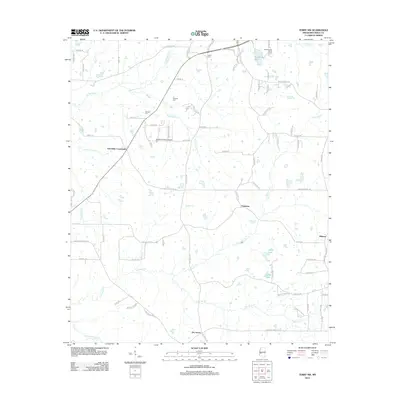
2012 Cayuga
Hinds County, MS
2012 Dabney Crossroads
Hinds County, MS
2012 New Byram
Hinds County, MS
2012 Pocahontas
Hinds County, MS
2012 Queens Hill Lake
Hinds County, MS
2012 Terry NW
Hinds County, MS
2012 Utica East
Hinds County, MS
2012 Utica West
Hinds County, MS
2015 Brownsville
Hinds County, MS
2015 Cayuga
Hinds County, MS
2015 Dabney Crossroads
Hinds County, MS
2015 New Byram
Hinds County, MS
2015 Pocahontas
Hinds County, MS
2015 Queens Hill Lake
Hinds County, MS
2015 Terry NW
Hinds County, MS
2015 Utica East
Hinds County, MS
2015 Utica West
Hinds County, MS
2018 Brownsville
Hinds County, MS
2018 Cayuga
Hinds County, MS
2018 Dabney Crossroads
Hinds County, MS
2018 New Byram
Hinds County, MS
2018 Pocahontas
Hinds County, MS
2018 Queens Hill Lake
Hinds County, MS
2018 Terry NW
Hinds County, MS
2018 Utica East
Hinds County, MS
2018 Utica West
Hinds County, MS
2020 Brownsville
Hinds County, MS
2020 Cayuga
Hinds County, MS
2020 Dabney Crossroads
Hinds County, MS
2020 New Byram
Hinds County, MS
2020 Pocahontas
Hinds County, MS
2020 Queens Hill Lake
Hinds County, MS
2020 Terry NW
Hinds County, MS
2020 Utica East
Hinds County, MS
2020 Utica West
Hinds County, MS
2024 Brownsville
Hinds County, MS
2024 Cayuga
Hinds County, MS
2024 Dabney Crossroads
Hinds County, MS
2024 New Byram
Hinds County, MS
2024 Pocahontas
Hinds County, MS
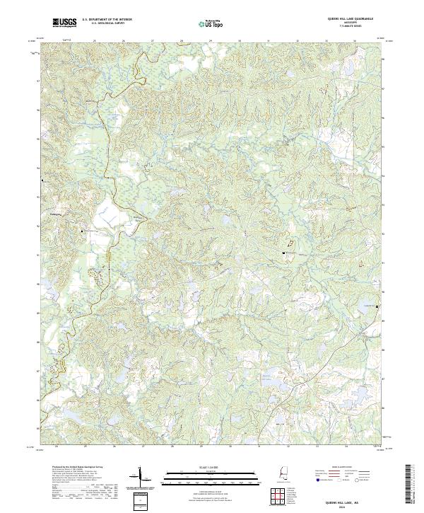
2024 Queens Hill Lake
Hinds County, MS
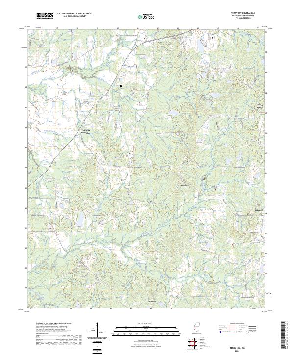
2024 Terry NW
Hinds County, MS
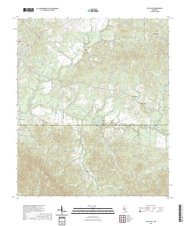
2024 Utica East
Hinds County, MS
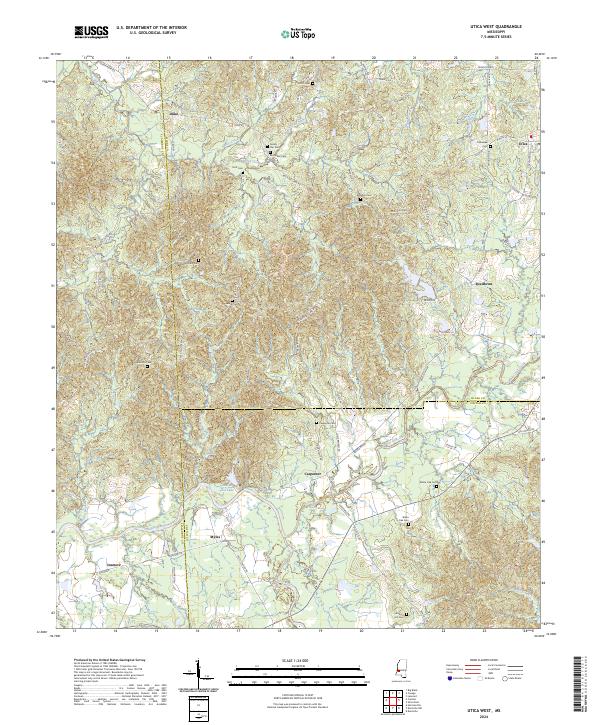
2024 Utica West
Hinds County, MS