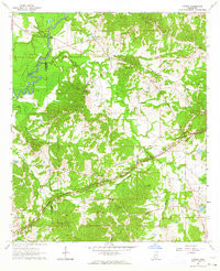
1963 Map of Cayuga
USGS Topo · Published 1964About this map
The Big Black River forms the western boundary of this landscape, separating the rugged, creek-carved terrain of Hinds and Claiborne Counties. The Natchez Trace Parkway cuts diagonally through the center of the sheet, tracing an ancient corridor near the settlement of Cayuga. This 1960s survey preserves the location of numerous rural institutions that served this farming community, including the Hubbard Sch and the Cayuga Sch.
Find a feature on this map
43 named features on this map. Tap any name to fly to it.
Don’t see what you’re looking for? This feature index may not catch every label — zoom into the map to look around manually.
Map Details
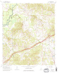
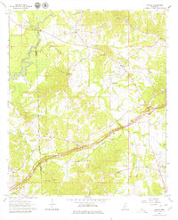
Editions of this 1963 Cayuga Map
Other maps of this area

1918 · Vicksburg
USGS Topo · 1:62,500

1938 · Edwards
USGS Topo · 1:62,500

1939 · Yokena
USGS Topo · 1:62,500

1941 · Vicksburg
USGS Topo · 1:62,500

1955 · Jackson
USGS Topo · 1:250,000

1961 · Jackson
USGS Topo · 1:250,000

1962 · Jackson
USGS Topo · 1:250,000

1962 · Vicksburg East
USGS Topo · 1:24,000

1962 · Utica West
USGS Topo · 1:24,000

1963 · Carlisle
USGS Topo · 1:24,000