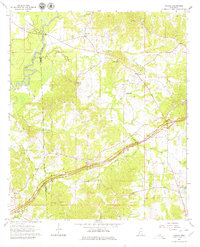
1963 Map of Cayuga
USGS Topo · Published 1979About this map
The Natchez Trace Parkway carves a distinctive diagonal through this landscape, following the historic path across the Hinds Co, Claiborne Co, and Warren Co borders. This 1963 survey captures a rural Mississippi terrain defined by small, family-centric settlements and an extensive network of country churches and burial grounds. A prominent Treaty Boundary line cuts across the topography south of Cayuga, marking a significant historical jurisdictional marker in the region's development.
Find a feature on this map
43 named features on this map. Tap any name to fly to it.
Don’t see what you’re looking for? This feature index may not catch every label — zoom into the map to look around manually.
Map Details
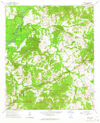
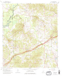
Editions of this 1963 Cayuga Map
Other maps of this area

1918 · Vicksburg
USGS Topo · 1:62,500

1938 · Edwards
USGS Topo · 1:62,500

1939 · Yokena
USGS Topo · 1:62,500

1941 · Vicksburg
USGS Topo · 1:62,500

1955 · Jackson
USGS Topo · 1:250,000

1961 · Jackson
USGS Topo · 1:250,000

1962 · Jackson
USGS Topo · 1:250,000

1962 · Vicksburg East
USGS Topo · 1:24,000

1962 · Utica West
USGS Topo · 1:24,000

1963 · Carlisle
USGS Topo · 1:24,000