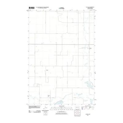
2011 Map of Cayuga
USGS Topo · Published 2011About this map
Cayuga serves as the primary hub of this rural Sargent County landscape, situated along the eastern edge where Roosevelt St meets the grid of local thoroughfares. The terrain is defined by the winding course of the Wild Rice River, which meanders from the northwest to the southeast corner, eventually feeding into Clouds Lake. This hydrological network is further managed by the Tewaukon WS-T 2 Dam, reflecting mid-century water management efforts in North Dakota’s prairie country.
Find a feature on this map
24 named features on this map. Tap any name to fly to it.
Don’t see what you’re looking for? This feature index may not catch every label — zoom into the map to look around manually.
Map Details
Editions of this 2011 Cayuga Map
This is the sole edition of this map. No revisions or reprints were ever made.
Other maps of this area

1907 · Wyndmere
USGS Topo · 1:125,000

1953 · Milbank
USGS Topo · 1:250,000

1953 · Fargo
USGS Topo · 1:250,000

1956 · Fargo
USGS Topo · 1:250,000

1956 · Havana
USGS Topo · 1:24,000

1958 · Milbank
USGS Topo · 1:250,000

1958 · Marlow
USGS Topo · 1:24,000

1958 · Rutland
USGS Topo · 1:24,000

1958 · Veblen NE
USGS Topo · 1:24,000

1958 · Cayuga NW
USGS Topo · 1:24,000