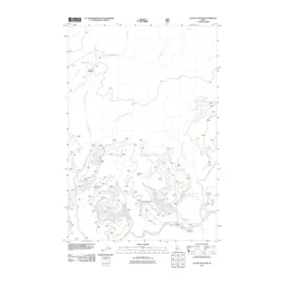
2011 Map of Cayuse Junction
USGS Topo · Published 2011About this map
Lochsa River drainage corridors and high ridge lines define this portion of Idaho County, where the historic Lolo Trl traverses the northern terrain. The landscape is characterized by a complex network of named watercourses, including the Waw'aalamnime Creek and Immatnoon Creek systems, which flow through steep topography marked by features like Wendover Ridge and Wacamyoos Likoolam. At the intersection of forest roads, Cayuse Junction serves as a navigational landmark near Cayuse Lake. Along the southern river bank, public access is established at Wendover Campground and Whitehouse Campground, adjacent to Whitehouse Pond. The map provides a detailed view of the backcountry infrastructure, from the high Cold Storage Saddle to the valley floor, reflecting the area's use for recreation and transit within the national forest system during the early 21st century.
Find a feature on this map
26 named features on this map. Tap any name to fly to it.
Don’t see what you’re looking for? This feature index may not catch every label — zoom into the map to look around manually.
Map Details
Editions of this 2011 Cayuse Junction Map
This is the sole edition of this map. No revisions or reprints were ever made.
Other maps of this area
1911 · Lolo
USGS Topo · 1:250,000
1913 · Lolo
USGS Topo · 1:250,000
1956 · Hamilton
USGS Topo · 1:250,000
1959 · Hamilton
USGS Topo · 1:250,000
1960 · Hamilton
USGS Topo · 1:250,000
1964 · Hamilton
USGS Topo · 1:250,000
1964 · Rocky Point
USGS Topo · 1:24,000
1964 · Granite Pass
USGS Topo · 1:24,000
1966 · Grave Peak
USGS Topo · 1:24,000
1966 · Rhodes Peak
USGS Topo · 1:24,000