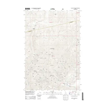
2013 Map of Cayuse Junction
USGS Topo · Published 2013About this map
Clearwater National Forest dominates this section of the northern Idaho mountains, where the historic Lolo Trl traverses the high ridges. This corridor follows the natural terrain of the Williams Range and Wendover Ridge, tracing a path between the Lochsa River and the high-elevation basin containing Cayuse Lake. The map illustrates the specialized naming conventions used for the landscape, including the Wacamyoos Likoolam Saddle and Cold Storage Saddle, which served as critical passage points for travel through the forest.
Find a feature on this map
33 named features on this map. Tap any name to fly to it.
Don’t see what you’re looking for? This feature index may not catch every label — zoom into the map to look around manually.
Map Details
Editions of this 2013 Cayuse Junction Map
This is the sole edition of this map. No revisions or reprints were ever made.
Other maps of this area
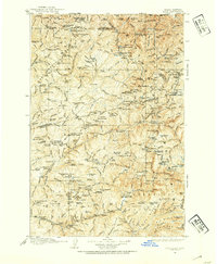
1911 · Lolo
USGS Topo · 1:250,000
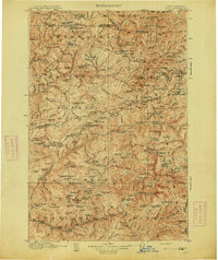
1913 · Lolo
USGS Topo · 1:250,000
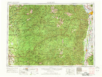
1956 · Hamilton
USGS Topo · 1:250,000
1959 · Hamilton
USGS Topo · 1:250,000
1960 · Hamilton
USGS Topo · 1:250,000
1964 · Hamilton
USGS Topo · 1:250,000
1964 · Rocky Point
USGS Topo · 1:24,000
1964 · Granite Pass
USGS Topo · 1:24,000
1966 · Grave Peak
USGS Topo · 1:24,000
1966 · Rhodes Peak
USGS Topo · 1:24,000