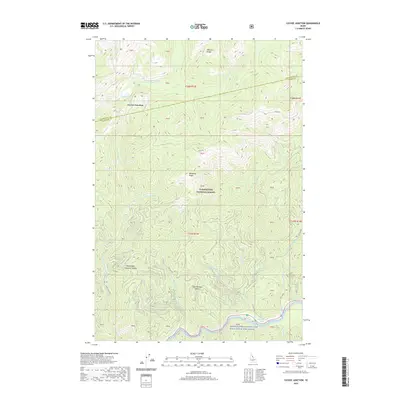
2020 Map of Cayuse Junction
USGS Topo · Published 2020About this map
The Lochsa River flows through the southern reaches of this landscape within the Clearwater National Forest, an area characterized by steep drainage networks and historic mountain corridors. The historic Lolo Trl cuts across the central highlands, tracing the high ridges above Cayuse Cr and Wendover Cr. This route, significant for its role in Indigenous travel and later exploration, connects various high-elevation landmarks such as Wendover Ridge and the Williams Range.
Find a feature on this map
49 named features on this map. Tap any name to fly to it.
Don’t see what you’re looking for? This feature index may not catch every label — zoom into the map to look around manually.
Map Details
Editions of this 2020 Cayuse Junction Map
This is the sole edition of this map. No revisions or reprints were ever made.
Other maps of this area
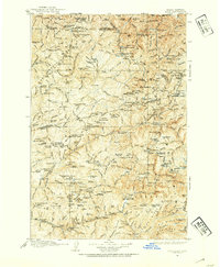
1911 · Lolo
USGS Topo · 1:250,000
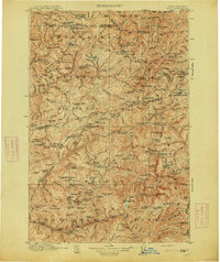
1913 · Lolo
USGS Topo · 1:250,000
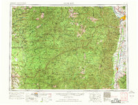
1956 · Hamilton
USGS Topo · 1:250,000
1959 · Hamilton
USGS Topo · 1:250,000
1960 · Hamilton
USGS Topo · 1:250,000
1964 · Hamilton
USGS Topo · 1:250,000
1964 · Rocky Point
USGS Topo · 1:24,000
1964 · Granite Pass
USGS Topo · 1:24,000
1966 · Grave Peak
USGS Topo · 1:24,000
1966 · Rhodes Peak
USGS Topo · 1:24,000