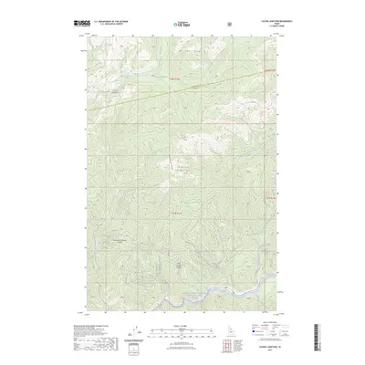
2023 Map of Cayuse Junction
USGS Topo · Published 2023About this map
Clearwater National Forest dominates this interior landscape, where the high ridges of the Williams Range and Wendover Ridge overlook a complex network of canyons and drainage basins. The Lolo Trl winds across the northern heights above Cayuse Junction, following the traditional paths of the high country. In the south, the terrain drops sharply toward the Lochsa River and the Middle Fork Clearwater Wild and Scenic River, where landmarks like Whitehouse Pond and Robin Creek mark the narrow river corridor. The map details a wild topography defined by steep saddles, including Wacamyoos Likoolam Saddle and Cold Storage Saddle, illustrating the difficult passage between the various forks of Waw'aalamnime Creek and Imnaamatnoon Creek. This modern survey documents the contemporary management and preservation of one of Idaho's most significant river systems and its surrounding wilderness.
Find a feature on this map
43 named features on this map. Tap any name to fly to it.
Don’t see what you’re looking for? This feature index may not catch every label — zoom into the map to look around manually.
Map Details
Editions of this 2023 Cayuse Junction Map
This is the sole edition of this map. No revisions or reprints were ever made.
Other maps of this area
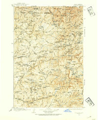
1911 · Lolo
USGS Topo · 1:250,000
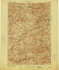
1913 · Lolo
USGS Topo · 1:250,000
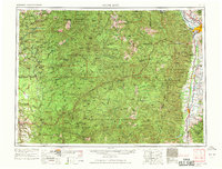
1956 · Hamilton
USGS Topo · 1:250,000
1959 · Hamilton
USGS Topo · 1:250,000
1960 · Hamilton
USGS Topo · 1:250,000
1964 · Hamilton
USGS Topo · 1:250,000
1964 · Rocky Point
USGS Topo · 1:24,000
1964 · Granite Pass
USGS Topo · 1:24,000
1966 · Grave Peak
USGS Topo · 1:24,000
1966 · Rhodes Peak
USGS Topo · 1:24,000