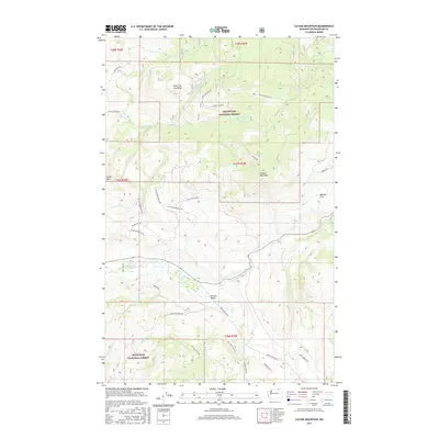
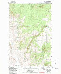
2017 Map of Cayuse Mountain
USGS Topo · Published 2017About this map
Okanogan National Forest land dominates this high-elevation landscape, where deep drainage systems like Siwash Cr and its many forks define the rugged topography. The terrain is characterized by prominent rises such as Fourth of July Ridge and Cayuse Mountain, which overlook the more level reaches of Bigham Flat to the east. Historically, these areas have been vital for forest management and local ranching, as evidenced by the dense network of forest development roads and primitive tracks like Island Mtn Rd and Cayuse Rd.
Find a feature on this map
41 named features on this map. Tap any name to fly to it.
Don’t see what you’re looking for? This feature index may not catch every label — zoom into the map to look around manually.
Map Details
Editions of this 2017 Cayuse Mountain Map
This is the sole edition of this map. No revisions or reprints were ever made.
Other maps of this area
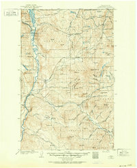
1902 · Osoyoos
USGS Topo · 1:125,000
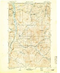
1904 · Osoyoos
USGS Topo · 1:125,000

1954 · Okanogan
USGS Topo · 1:250,000
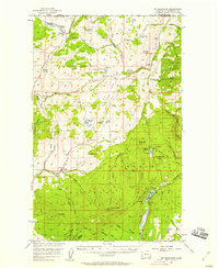
1957 · Mt. Bonaparte
USGS Topo · 1:62,500
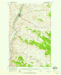
1957 · Tonasket
USGS Topo · 1:62,500
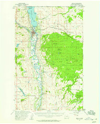
1957 · Oroville
USGS Topo · 1:62,500
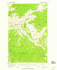
1957 · Aeneas Valley
USGS Topo · 1:62,500

1958 · Okanogan
USGS Topo · 1:250,000
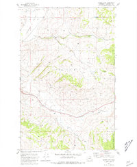
1981 · Barker Mtn
USGS Topo · 1:24,000
1981 · Burge Mtn
USGS Topo · 1:24,000