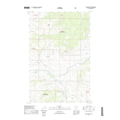
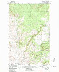
2020 Map of Cayuse Mountain
USGS Topo · Published 2020About this map
Aeneas Valley sits at the heart of this Okanogan County landscape, where the waters of Bonaparte Cr and Patterson Cr drain the surrounding highlands. This modern survey illustrates a rugged corner of the Okanogan National Forest, defined by significant elevations such as Cayuse Mtn and the appropriately named Fourth of July Ridge. The drainage patterns are intricate, featuring the branching network of Siwash Cr with its North, Middle, and South forks. A complex web of access roads, including Cayuse Mountain Rd and Aeneas Valley Rd, traces the contours of the terrain, providing a detailed view of how contemporary land management and recreation interface with the natural topography. From the high reaches of Bigham Flat to the creek beds of Peony Cr and Erle Cr, the map provides a precise record of the current physical and naming conventions in this remote Washington wilderness.
Find a feature on this map
37 named features on this map. Tap any name to fly to it.
Don’t see what you’re looking for? This feature index may not catch every label — zoom into the map to look around manually.
Map Details
Editions of this 2020 Cayuse Mountain Map
This is the sole edition of this map. No revisions or reprints were ever made.
Other maps of this area
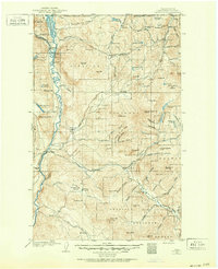
1902 · Osoyoos
USGS Topo · 1:125,000
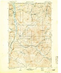
1904 · Osoyoos
USGS Topo · 1:125,000

1954 · Okanogan
USGS Topo · 1:250,000
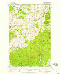
1957 · Mt. Bonaparte
USGS Topo · 1:62,500
1957 · Tonasket
USGS Topo · 1:62,500
1957 · Oroville
USGS Topo · 1:62,500
1957 · Aeneas Valley
USGS Topo · 1:62,500

1958 · Okanogan
USGS Topo · 1:250,000
1981 · Barker Mtn
USGS Topo · 1:24,000
1981 · Burge Mtn
USGS Topo · 1:24,000