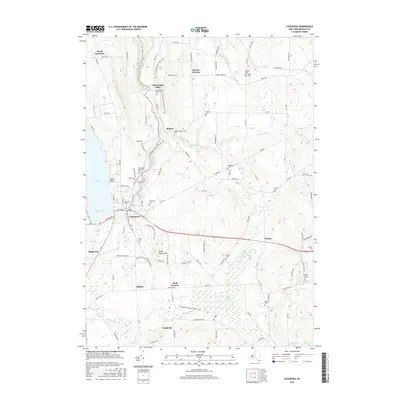
2016 Map of Cazenovia
USGS Topo · Published 2016About this map
Cazenovia Lake and the established village of Cazenovia anchor this Madison County landscape, where the academic grounds of Cazenovia Coll sit near the water's edge. The terrain is marked by the winding course of Chittenango Cr, which drops over the significant Chittenango Falls to the north. This modern survey illustrates a network of rural hamlets including Rowan Corners, Bingley, and Nelson, connected by historical corridors like the N Country National Scenic Trail. Genealogists will find a high density of burial sites across the landscape, from the Evergreen Cem and South Cem near the village to outlying family and community grounds such as Haight Cem, Needham Cem, and the Welsh Church Cem in the southeast. Industry and geology meet at Stone Quarry Hill, while natural features like Cedar Swamp and Munger Brook define the drainage patterns between the rising ridges.
Find a feature on this map
113 named features on this map. Tap any name to fly to it.
Don’t see what you’re looking for? This feature index may not catch every label — zoom into the map to look around manually.
Map Details
Editions of this 2016 Cazenovia Map
This is the sole edition of this map. No revisions or reprints were ever made.
Other maps of this area

1895 · Chittenango
USGS Topo · 1:62,500

1895 · Oneida
USGS Topo · 1:62,500

1897 · Cazenovia
USGS Topo · 1:62,500

1898 · Oneida
USGS Topo · 1:62,500

1898 · Chittenango
USGS Topo · 1:62,500

1899 · Cazenovia
USGS Topo · 1:62,500

1902 · Chittenango
USGS Topo · 1:62,500

1902 · Morrisville
USGS Topo · 1:62,500

1902 · Oneida
USGS Topo · 1:62,500

1939 · Oneida
USGS Topo · 1:62,500