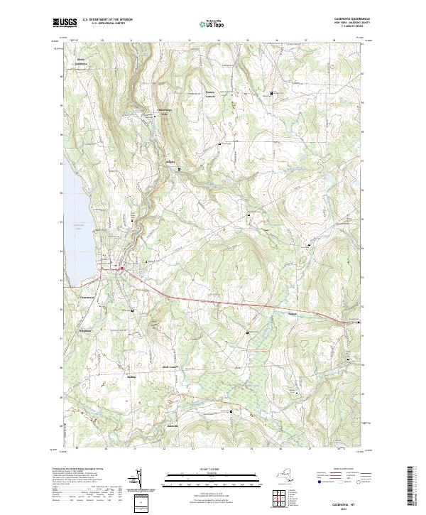
2023 Map of Cazenovia
USGS Topo · Published 2023About this map
The village of Cazenovia anchors this Madison County landscape, situated at the southern tip of Cazenovia Lake and serving as the home of Cazenovia College. Moving east from the lake, the terrain rises toward Stone Quarry Hill and drops into the ravine carved by Chittenango Creek, which flows north through the notable Chittenango Falls area. The settlement pattern is defined by historic crossroads like Rippleton, Bingley, and Nelson, each surrounded by a high density of family and community burial grounds including Ballou Cem, Munger Cem, and the Welsh Church Cem. The map illustrates a balance between established educational and residential centers and the preserved natural spaces of Cedar Swamp and the North Country National Scenic Trl, which winds through the eastern uplands. This contemporary survey captures how the early 19th-century road network still dictates the modern geography of the Cazenovia area.
Find a feature on this map
119 named features on this map. Tap any name to fly to it.
Don’t see what you’re looking for? This feature index may not catch every label — zoom into the map to look around manually.
Map Details
Editions of this 2023 Cazenovia Map
This is the sole edition of this map. No revisions or reprints were ever made.
Other maps of this area

1895 · Chittenango
USGS Topo · 1:62,500

1895 · Oneida
USGS Topo · 1:62,500

1897 · Cazenovia
USGS Topo · 1:62,500

1898 · Oneida
USGS Topo · 1:62,500

1898 · Chittenango
USGS Topo · 1:62,500

1899 · Cazenovia
USGS Topo · 1:62,500

1902 · Chittenango
USGS Topo · 1:62,500

1902 · Morrisville
USGS Topo · 1:62,500

1902 · Oneida
USGS Topo · 1:62,500

1939 · Oneida
USGS Topo · 1:62,500