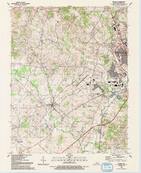
1992 Map of Cecilia
USGS Topo · Published 1993About this map
Cecilia and the surrounding rural landscape of Hardin County appear here in a period of transition as Elizabethtown expands westward. The eastern portion of the map is dominated by urban growth, featuring the Towne Mall, several educational institutions including a Community College and Vo-Tech Sch, and the residential neighborhoods of Helmwood Heights. This expansion meets the more traditional agricultural and rail-oriented patterns of the western half, where the Illinois Central Gulf railroad tracks connect the smaller communities of St John and Hansbrough.
Find a feature on this map
38 named features on this map. Tap any name to fly to it.
Don’t see what you’re looking for? This feature index may not catch every label — zoom into the map to look around manually.
Map Details
Editions of this 1992 Cecilia Map
This is the sole edition of this map. No revisions or reprints were ever made.
Other maps of this area
1932 · Big Clifty
USGS Topo · 1:62,500
1935 · Elizabethtown
USGS Topo · 1:48,000
1936 · Vine Grove
USGS Topo · 1:62,500
1938 · Elizabethtown
USGS Topo · 1:62,500
1941 · Ekron
USGS Topo · 1:62,500
1943 · Vine Grove
USGS Topo · 1:62,500
1946 · Colesburg
USGS Topo · 1:24,000
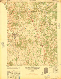
1946 · Vine Grove
USGS Topo · 1:24,000
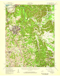
1946 · Vine Grove
USGS Topo · 1:62,500
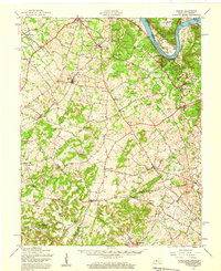
1947 · Ekron
USGS Topo · 1:62,500